Area Overview for LD7 1TW
Photos of LD7 1TW
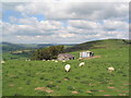
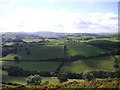
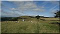
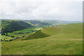
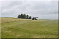
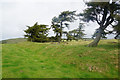
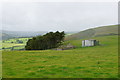
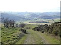
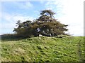
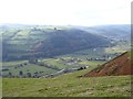
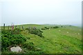
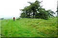
28 photos from this area
Area Information
Key information about the LD7 1TW including its size, population, and administrative classification.
- Area Type
- Postcode
- Area Size
- 2.2 km²
- Population
- 2199
- Population Density
- 12 people/km²
House Prices in LD7 1TW
14
Properties
£174,983
Average Sold Price
£140,000
Lowest Price
£195,000
Highest Price
Showing 14 properties
| Address | Type | Beds | Baths | Last Sale Price | Last Sale Date | |
|---|---|---|---|---|---|---|
| Lower Skyborry Cottage, Skyborry Green To Kinsley Road Start Of, Knighton, LD7 1TW | house | - | - | £140,000 | May 2021 | |
| Lower Skyborry, Skyborry Green To Kinsley Road Start Of, Knighton, LD7 1TW | house | - | - | £195,000 | Jul 2001 | |
| Oak Cottage, Skyborry Green Junction To Backwood Parkhill Lane, Knighton, LD7 1TW | house | - | - | £189,950 | May 1999 | |
| Skyborry, Skyborry Green To Kinsley Road Start Of, Knighton, LD7 1TW | Detached | 4 | 2 | - | - | |
| The Croft, Skyborry Green To Kinsley Road Start Of, Knighton, LD7 1TW | Bungalow | - | - | - | - | |
| Chalet, Nether Skyborry, Skyborry Green To Kinsley Road Start Of, Knighton, LD7 1TW | Detached | - | - | - | - | |
| The Brynny, Skyborry Green Junction To Backwood Parkhill Lane, Knighton, LD7 1TW | Detached | - | - | - | - | |
| Caravan, Skyborry Green Farm, Skyborry Green To Kinsley Road Start Of, Knighton, LD7 1TW | Mobile Home | - | - | - | - | |
| Brackenway, Skyborry Green To Kinsley Road Start Of, Knighton, LD7 1TW | house | - | - | - | - | |
| The Coach House, Skyborry Green To Kinsley Road Start Of, Knighton, LD7 1TW | Detached | - | - | - | - |
Page 1 of 2
Energy Efficiency in LD7 1TW
Amenities
Schools
| Rank | School | Type | Entry gender | Ages |
|---|
Explore more schools in this area
Go to Schools tabDemographics
Household Size
Two person
most common
Accommodation Type
Houses
most common
Tenure
80
majority
Ethnic Group
White
most common
Religion
N/A
most common
Household Composition
N/A
most common
Age
47
median
Adults (30-64 years)
most common
Household Deprivation
N/A
with no deprivation
NS-SEC
35
in Lower managerial occupations
Explore more demographic insights in this area
Go to Demographics tabPlanning
Planning Constraints
- Flood RiskPremium
- Ramsar Wetland SitesPremium
- Area of Outstanding Natural BeautyPremium
- Protected Nature ReservePremium
- Protected WoodlandPremium