Area Overview for LD7 1EA
Photos of LD7 1EA
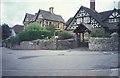
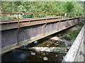
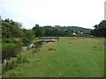
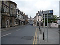
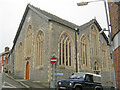
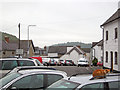
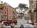
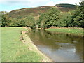
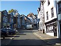
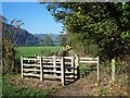
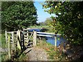
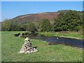
100 photos from this area
Area Information
Key information about the LD7 1EA including its size, population, and administrative classification.
- Area Type
- Postcode
- Area Size
- 11.2 hectares
- Population
- 2199
- Population Density
- 12 people/km²
House Prices in LD7 1EA
17
Properties
£179,919
Average Sold Price
£46,500
Lowest Price
£345,000
Highest Price
Showing 17 properties
| Address | Type | Beds | Baths | Last Sale Price | Last Sale Date | |
|---|---|---|---|---|---|---|
| 19A Kinsley Road, Knighton, LD7 1EA | Detached | 2 | 1 | £215,000 | Apr 2025 | |
| 20 Kinsley Road, Knighton, LD7 1EA | Semi-detached | 2 | 1 | £222,000 | Sep 2023 | |
| The Oaklands, Kinsley Road, Knighton, LD7 1EA | Bungalow | 3 | 2 | £270,000 | Mar 2023 | |
| 18 Kinsley Road, Knighton, LD7 1EA | Semi-detached | 5 | 1 | £345,000 | Feb 2023 | |
| MYRTLE VILLA, 17 KINSLEY ROAD, Knighton, LD7 1EA | Detached | 2 | 1 | £283,500 | Sep 2022 | |
| 2, Sundorne, Kinsley Road, Knighton, LD7 1EA | house | - | - | £149,000 | May 2022 | |
| 21 Kinsley Road, Knighton, LD7 1EA | house | - | - | £139,950 | Aug 2021 | |
| Cosy Cottage, 19 Kinsley Road, Knighton, LD7 1EA | Semi-detached | 4 | 2 | £183,000 | Jul 2021 | |
| 26 Kinsley Road, Knighton, LD7 1EA | house | - | - | £205,000 | Feb 2019 | |
| Curiosity Cottage, 25 Kinsley Road, Knighton, LD7 1EA | Semi-detached | 2 | - | £170,000 | Nov 2017 |
Page 1 of 2
Energy Efficiency in LD7 1EA
Amenities
Schools
| Rank | School | Type | Entry gender | Ages |
|---|
Explore more schools in this area
Go to Schools tabDemographics
Household Size
Two person
most common
Accommodation Type
Houses
most common
Tenure
80
majority
Ethnic Group
White
most common
Religion
N/A
most common
Household Composition
N/A
most common
Age
47
median
Adults (30-64 years)
most common
Household Deprivation
N/A
with no deprivation
NS-SEC
35
in Lower managerial occupations
Explore more demographic insights in this area
Go to Demographics tabPlanning
Planning Constraints
- Flood RiskPremium
- Ramsar Wetland SitesPremium
- Area of Outstanding Natural BeautyPremium
- Protected Nature ReservePremium
- Protected WoodlandPremium