Area Overview for HR9 7UL
Photos of HR9 7UL
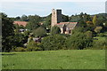
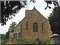
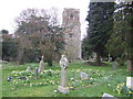
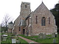
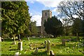
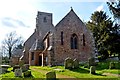
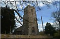
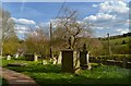
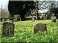
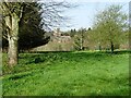
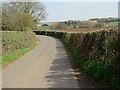
47 photos from this area
Area Information
Key information about the HR9 7UL including its size, population, and administrative classification.
- Area Type
- Postcode
- Area Size
- 41.3 hectares
- Population
- 1785
- Population Density
- 36 people/km²
House Prices in HR9 7UL
9
Properties
£589,000
Average Sold Price
£495,000
Lowest Price
£725,000
Highest Price
Showing 9 properties
| Address | Type | Beds | Baths | Last Sale Price | Last Sale Date | |
|---|---|---|---|---|---|---|
| Churchend Barn, C 1286 From B 4221 To Kempley Road, Upton Bishop, HR9 7UL | Detached | 4 | 2 | £725,000 | Mar 2021 | |
| School House, Church Road, Upton Bishop, HR9 7UL | house | 4 | - | £547,000 | Mar 2014 | |
| Appledore, Church Road, Upton Bishop, HR9 7UL | Detached | - | - | £495,000 | Nov 2001 | |
| Plot 1 Toilet Block The Old School Convert Of Toilet Block To Residentiial, School House, Church Road, Upton Bishop, HR9 7UL | Semi-detached | - | - | - | - | |
| Cottage, Appledore, Church Road, Upton Bishop, HR9 7UL | undefined | - | - | - | - | |
| Church Cottage, Church Road, Upton Bishop, HR9 7UL | Detached | - | - | - | - | |
| Martindale, Church Road, Upton Bishop, HR9 7UL | Detached | - | - | - | - | |
| The Old Vicarage, Church Road, Upton Bishop, HR9 7UL | Detached | - | - | - | - | |
| Plot 1 Land At Upton Crews Conversion Of Stone Barn Into A Residential Dwelling, Church Road, Upton Bishop, HR9 7UL | Detached | - | - | - | - |
Energy Efficiency in HR9 7UL
Amenities
Schools
| Rank | School | Type | Entry gender | Ages |
|---|
Explore more schools in this area
Go to Schools tabDemographics
Household Size
Two person
most common
Accommodation Type
Houses
most common
Tenure
70
majority
Ethnic Group
White
most common
Religion
N/A
most common
Household Composition
N/A
most common
Age
47
median
Adults (30-64 years)
most common
Household Deprivation
N/A
with no deprivation
NS-SEC
42
in Lower managerial occupations
Explore more demographic insights in this area
Go to Demographics tabPlanning
Planning Constraints
- Flood RiskPremium
- Ramsar Wetland SitesPremium
- Area of Outstanding Natural BeautyPremium
- Protected Nature ReservePremium
- Protected WoodlandPremium