Area Overview for HR9 7TL
Photos of HR9 7TL
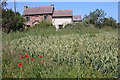

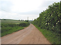


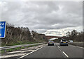
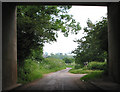


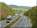
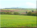
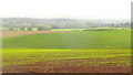
27 photos from this area
Area Information
Key information about the HR9 7TL including its size, population, and administrative classification.
- Area Type
- Postcode
- Area Size
- 1.0 km²
- Population
- 1852
- Population Density
- 355 people/km²
House Prices in HR9 7TL
24
Properties
£687,500
Average Sold Price
£425,000
Lowest Price
£1,050,000
Highest Price
Showing 24 properties
| Address | Type | Beds | Baths | Last Sale Price | Last Sale Date | |
|---|---|---|---|---|---|---|
| Apple Garth, C 1283 From B 4221 To Kingstone Via Rudhall, Phocle Green, HR9 7TL | house | 4 | 3 | £635,000 | Sep 2021 | |
| Rudhall Barns, C 1283 From B 4221 To Kingstone Via Rudhall, Phocle Green, HR9 7TL | Detached | 5 | 2 | £640,000 | Oct 2020 | |
| Rudhall Mill, C 1283 From B 4221 To Kingstone Via Rudhall, Phocle Green, HR9 7TL | Detached | 5 | 2 | £1,050,000 | Jun 2020 | |
| Priorsway, C 1283 From B 4221 To Kingstone Via Rudhall, Phocle Green, HR9 7TL | Bungalow | 4 | 2 | £425,000 | Feb 2020 | |
| Rudhall Manor, C 1283 From B 4221 To Kingstone Via Rudhall, Phocle Green, HR9 7TL | Detached | 7 | 6 | - | - | |
| Rudhall Farm, Rudhall Road, Phocle Green, HR9 7TL | house | 14 | 6 | - | - | |
| 4 The Downs, Phocle Green, HR9 7TL | Bungalow | 4 | 2 | - | - | |
| Rudhall Lodge, Rudhall Road, Phocle Green, HR9 7TL | undefined | - | - | - | - | |
| Caravan, Priorsway, C 1283 From B 4221 To Kingstone Via Rudhall, Phocle Green, HR9 7TL | Mobile Home | - | - | - | - | |
| Sun Valley Bungalow, Westwood View, C 1283 From B 4221 To Kingstone Via Rudhall, Phocle Green, HR9 7TL | Detached | - | - | - | - |
Page 1 of 3
Energy Efficiency in HR9 7TL
Amenities
Schools
| Rank | School | Type | Entry gender | Ages |
|---|
Explore more schools in this area
Go to Schools tabDemographics
Household Size
Two person
most common
Accommodation Type
Houses
most common
Tenure
81
majority
Ethnic Group
White
most common
Religion
N/A
most common
Household Composition
N/A
most common
Age
47
median
Adults (30-64 years)
most common
Household Deprivation
N/A
with no deprivation
NS-SEC
36
in Lower managerial occupations
Explore more demographic insights in this area
Go to Demographics tabPlanning
Planning Constraints
- Flood RiskPremium
- Ramsar Wetland SitesPremium
- Area of Outstanding Natural BeautyPremium
- Protected Nature ReservePremium
- Protected WoodlandPremium