Area Overview for HR9 7QX
Photos of HR9 7QX

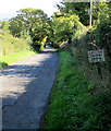
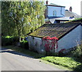
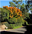
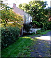
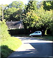
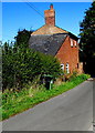
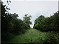
38 photos from this area
Area Information
Key information about the HR9 7QX including its size, population, and administrative classification.
- Area Type
- Postcode
- Area Size
- 60.7 hectares
- Population
- 1323
- Population Density
- 29 people/km²
House Prices in HR9 7QX
16
Properties
£361,357
Average Sold Price
£140,000
Lowest Price
£750,000
Highest Price
Showing 16 properties
| Address | Type | Beds | Baths | Last Sale Price | Last Sale Date | |
|---|---|---|---|---|---|---|
| High Acres, Perrystone Hill, Perrystone Hill, HR9 7QX | house | - | - | £750,000 | Oct 2022 | |
| The Garden House, Perrystone Hill, Perrystone Hill, HR9 7QX | house | - | - | £485,000 | Oct 2016 | |
| Woodpeckers, Perrystone Hill, Perrystone Hill, HR9 7QX | Bungalow | 3 | 1 | £290,000 | Dec 2015 | |
| Rose Tree Cottage, Perrystone Hill, Perrystone Hill, HR9 7QX | Semi-detached | 1 | 1 | £485,000 | Aug 2014 | |
| Holly Cottage, Perrystone Hill, Perrystone Hill, HR9 7QX | house | - | - | £192,000 | Dec 2009 | |
| The Grove, Perrystone Hill, Perrystone Hill, HR9 7QX | Detached | 2 | 2 | £140,000 | Aug 1999 | |
| The Old School House, Perrystone Hill, Perrystone Hill, HR9 7QX | Detached | - | - | £187,500 | Jan 1997 | |
| Upper House Farm, Perrystone Hill, Perrystone Hill, HR9 7QX | Detached | 4 | 3 | - | - | |
| Perrystone Hill Holding, Perrystone Hill, Perrystone Hill, HR9 7QX | undefined | - | - | - | - | |
| Annexe, Perrystone Towers, Perrystone Hill, Perrystone Hill, HR9 7QX | Semi-detached | - | - | - | - |
Page 1 of 2
Energy Efficiency in HR9 7QX
Amenities
Schools
| Rank | School | Type | Entry gender | Ages |
|---|
Explore more schools in this area
Go to Schools tabDemographics
Household Size
Two person
most common
Accommodation Type
Houses
most common
Tenure
70
majority
Ethnic Group
White
most common
Religion
N/A
most common
Household Composition
N/A
most common
Age
47
median
Adults (30-64 years)
most common
Household Deprivation
N/A
with no deprivation
NS-SEC
38
in Lower managerial occupations
Explore more demographic insights in this area
Go to Demographics tabPlanning
Planning Constraints
- Flood RiskPremium
- Ramsar Wetland SitesPremium
- Protected Nature ReservePremium
- Protected WoodlandPremium