Area Overview for HR9 6AA
Photos of HR9 6AA
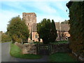

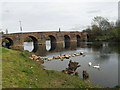
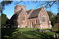
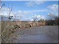
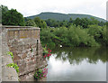
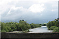
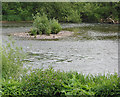
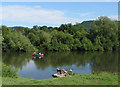
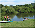
100 photos from this area
Area Information
Key information about the HR9 6AA including its size, population, and administrative classification.
- Area Type
- Postcode
- Area Size
- 2.8 hectares
- Population
- 1203
- Population Density
- 1377 people/km²
House Prices in HR9 6AA
19
Properties
£203,333
Average Sold Price
£180,000
Lowest Price
£250,000
Highest Price
Showing 19 properties
| Address | Type | Beds | Baths | Last Sale Price | Last Sale Date | |
|---|---|---|---|---|---|---|
| 1, Wilton Villa, Wilton Road, Wilton, HR9 6AA | house | 4 | - | £180,000 | Jun 2006 | |
| Old Riverside Stores, Wilton Road, Wilton, HR9 6AA | Detached | - | - | £250,000 | Jul 2004 | |
| Sadlers Mill, Wilton Road, Wilton, HR9 6AA | Detached | - | - | £180,000 | Nov 2003 | |
| The Corner House, Wilton Road, Wilton, HR9 6AA | Terraced | 3 | 1 | - | - | |
| Flat 1, Wilton Yard, Wilton Road, Wilton, HR9 6AA | Flat | - | - | - | - | |
| Flat 4, Riverside Lodge, Wilton Road, Wilton, HR9 6AA | Flat | - | - | - | - | |
| 2, Wilton Villa, Wilton Road, Wilton, HR9 6AA | Semi-detached | - | - | - | - | |
| The Old Toll Cottage, Wilton Road, Wilton, HR9 6AA | Semi-detached | - | - | - | - | |
| Flat 3, Riverside Lodge, Wilton Road, Wilton, HR9 6AA | Flat | - | - | - | - | |
| Flat 2, Wilton Yard, Wilton Road, Wilton, HR9 6AA | Flat | - | - | - | - |
Page 1 of 2
Energy Efficiency in HR9 6AA
Amenities
Schools
| Rank | School | Type | Entry gender | Ages |
|---|
Explore more schools in this area
Go to Schools tabDemographics
Household Size
One person
most common
Accommodation Type
Houses
most common
Tenure
55
majority
Ethnic Group
White
most common
Religion
N/A
most common
Household Composition
N/A
most common
Age
47
median
Adults (30-64 years)
most common
Household Deprivation
N/A
with no deprivation
NS-SEC
34
in Lower managerial occupations
Explore more demographic insights in this area
Go to Demographics tabPlanning
Planning Constraints
- Flood RiskPremium
- Ramsar Wetland SitesPremium
- Protected Nature ReservePremium
- Protected WoodlandPremium