Area Overview for HR9 5UP
Photos of HR9 5UP
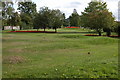
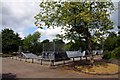
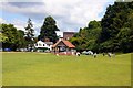

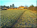
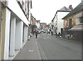
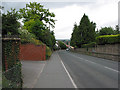
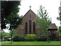

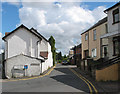
100 photos from this area
Area Information
Key information about the HR9 5UP including its size, population, and administrative classification.
- Area Type
- Postcode
- Area Size
- 9744 m²
- Population
- 1380
- Population Density
- 1509 people/km²
House Prices in HR9 5UP
19
Properties
£216,262
Average Sold Price
£78,000
Lowest Price
£355,000
Highest Price
Showing 19 properties
| Address | Type | Beds | Baths | Last Sale Price | Last Sale Date | |
|---|---|---|---|---|---|---|
| 58 Duxmere Drive, Ross On Wye, HR9 5UP | house | 3 | - | £250,000 | May 2025 | |
| 81 Duxmere Drive, Ross On Wye, HR9 5UP | house | 3 | - | £290,000 | Jun 2024 | |
| 66 Duxmere Drive, Ross On Wye, HR9 5UP | Semi-detached | 3 | - | £233,000 | Jan 2022 | |
| 62 Duxmere Drive, Ross On Wye, HR9 5UP | Semi-detached | 3 | 1 | £240,000 | Oct 2021 | |
| 71 Duxmere Drive, Ross On Wye, HR9 5UP | house | - | - | £330,000 | Sep 2021 | |
| 73 Duxmere Drive, Ross On Wye, HR9 5UP | house | - | - | £275,000 | Sep 2021 | |
| 68 Duxmere Drive, Ross On Wye, HR9 5UP | Detached | 4 | 2 | £342,000 | Mar 2020 | |
| 79 Duxmere Drive, Ross On Wye, HR9 5UP | Semi-detached | 2 | 1 | £175,000 | Aug 2019 | |
| Devoran, 69 Duxmere Drive, Ross On Wye, HR9 5UP | house | - | - | £266,000 | Mar 2018 | |
| 64 Duxmere Drive, Ross On Wye, HR9 5UP | Semi-detached | 3 | 1 | £183,500 | Jan 2015 |
Page 1 of 2
Energy Efficiency in HR9 5UP
Amenities
Schools
| Rank | School | Type | Entry gender | Ages |
|---|
Explore more schools in this area
Go to Schools tabDemographics
Household Size
Two person
most common
Accommodation Type
Houses
most common
Tenure
88
majority
Ethnic Group
White
most common
Religion
N/A
most common
Household Composition
N/A
most common
Age
47
median
Adults (30-64 years)
most common
Household Deprivation
N/A
with no deprivation
NS-SEC
33
in Lower managerial occupations
Explore more demographic insights in this area
Go to Demographics tabPlanning
Planning Constraints
- Flood RiskPremium
- Ramsar Wetland SitesPremium
- Protected Nature ReservePremium
- Protected WoodlandPremium