Area Overview for HR8 2SJ
Photos of HR8 2SJ
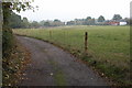
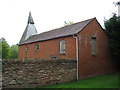
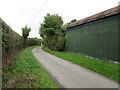
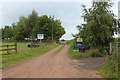
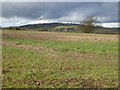
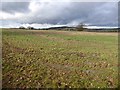
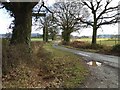
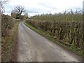
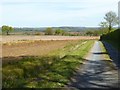
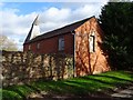
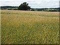
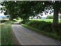
35 photos from this area
Area Information
Key information about the HR8 2SJ including its size, population, and administrative classification.
- Area Type
- Postcode
- Area Size
- 1.6 km²
- Population
- 1433
- Population Density
- 52 people/km²
House Prices in HR8 2SJ
12
Properties
£322,324
Average Sold Price
£127,000
Lowest Price
£690,000
Highest Price
Showing 12 properties
| Address | Type | Beds | Baths | Last Sale Price | Last Sale Date | |
|---|---|---|---|---|---|---|
| Lower House Farm, Swinmore, Munsley, HR8 2SJ | house | - | - | £690,000 | Oct 2020 | |
| Shirkway Cottage, Swinmore, Munsley, HR8 2SJ | Detached | 2 | 1 | £300,000 | Nov 2013 | |
| Swinmore House, Swinmore, Munsley, HR8 2SJ | Detached | 1 | 1 | £294,619 | Aug 2005 | |
| Meadowhead Cottage, Swinmore, Munsley, HR8 2SJ | Semi-detached | - | - | £200,000 | Oct 2001 | |
| 1 Swinmore Cottages, Swinmore, Munsley, HR8 2SJ | Detached | - | - | £127,000 | Sep 1998 | |
| The Croft, Swinmore, Munsley, HR8 2SJ | house | 6 | 4 | - | - | |
| Little Croft, Swinmore, Munsley, HR8 2SJ | Bungalow | - | - | - | - | |
| Canaima, Swinmore, Munsley, HR8 2SJ | Detached | - | - | - | - | |
| Swinmore Farm, Swinmore, Munsley, HR8 2SJ | Detached | - | - | - | - | |
| Granny Annexe At Meadowhead Cottage, Meadowhead Cottage, Swinmore, Munsley, HR8 2SJ | Semi-detached | - | - | - | - |
Page 1 of 2
Energy Efficiency in HR8 2SJ
Amenities
Schools
| Rank | School | Type | Entry gender | Ages |
|---|
Explore more schools in this area
Go to Schools tabDemographics
Household Size
Two person
most common
Accommodation Type
Houses
most common
Tenure
72
majority
Ethnic Group
White
most common
Religion
N/A
most common
Household Composition
N/A
most common
Age
47
median
Adults (30-64 years)
most common
Household Deprivation
N/A
with no deprivation
NS-SEC
38
in Lower managerial occupations
Explore more demographic insights in this area
Go to Demographics tabPlanning
Planning Constraints
- Flood RiskPremium
- Ramsar Wetland SitesPremium
- Area of Outstanding Natural BeautyPremium
- Protected Nature ReservePremium
- Protected WoodlandPremium