Area Overview for HR8 2LP
Photos of HR8 2LP
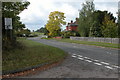
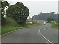
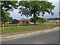


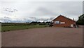
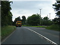
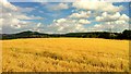
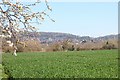
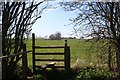
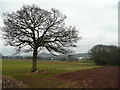
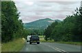
17 photos from this area
Area Information
Key information about the HR8 2LP including its size, population, and administrative classification.
- Area Type
- Postcode
- Area Size
- 45.4 hectares
- Population
- 1681
- Population Density
- 45 people/km²
House Prices in HR8 2LP
18
Properties
£134,563
Average Sold Price
£55,000
Lowest Price
£238,500
Highest Price
Showing 18 properties
| Address | Type | Beds | Baths | Last Sale Price | Last Sale Date | |
|---|---|---|---|---|---|---|
| 1, Leddington Court, Ross Road, Ledbury, HR8 2LP | Flat | - | - | £238,500 | Feb 2023 | |
| 9, Leddington Court, Ross Road, Ledbury, HR8 2LP | Flat | - | - | £101,000 | Oct 2022 | |
| 2, Leddington Court, Ross Road, Ledbury, HR8 2LP | Flat | 1 | 1 | £157,500 | Mar 2022 | |
| 4, Leddington Court, Ross Road, Ledbury, HR8 2LP | Flat | - | - | £110,000 | Aug 2015 | |
| 6, Leddington Court, Ross Road, Ledbury, HR8 2LP | Flat | 2 | 1 | £147,000 | Jan 2005 | |
| 8, Leddington Court, Ross Road, Ledbury, HR8 2LP | Flat | 1 | - | £92,500 | Oct 2004 | |
| The Gardeners Cottage, Ross Road, Ledbury, HR8 2LP | Cottage | 2 | 1 | £175,000 | Aug 2002 | |
| 7, Leddington Court, Ross Road, Ledbury, HR8 2LP | Flat | - | - | £55,000 | Jan 1998 | |
| The Hay Loft, Leadon House Hotel, Ross Road, Ledbury, HR8 2LP | Flat | 12 | 9 | - | - | |
| The Grooms Cottage, Ross Road, Ledbury, HR8 2LP | house | - | - | - | - |
Page 1 of 2
Energy Efficiency in HR8 2LP
Amenities
Schools
| Rank | School | Type | Entry gender | Ages |
|---|
Explore more schools in this area
Go to Schools tabDemographics
Household Size
Two person
most common
Accommodation Type
Houses
most common
Tenure
73
majority
Ethnic Group
White
most common
Religion
N/A
most common
Household Composition
N/A
most common
Age
47
median
Adults (30-64 years)
most common
Household Deprivation
N/A
with no deprivation
NS-SEC
40
in Lower managerial occupations
Explore more demographic insights in this area
Go to Demographics tabPlanning
Planning Constraints
- Flood RiskPremium
- Ramsar Wetland SitesPremium
- Area of Outstanding Natural BeautyPremium
- Protected Nature ReservePremium
- Protected WoodlandPremium