Area Overview for HR7 4TH
Photos of HR7 4TH
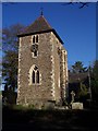
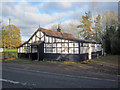
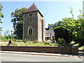
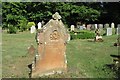
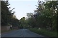
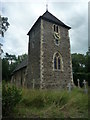
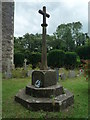
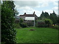
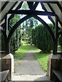
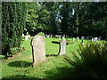
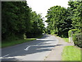
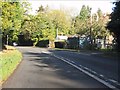
41 photos from this area
Area Information
Key information about the HR7 4TH including its size, population, and administrative classification.
- Area Type
- Postcode
- Area Size
- 1.5 km²
- Population
- 1283
- Population Density
- 24 people/km²
House Prices in HR7 4TH
22
Properties
£416,714
Average Sold Price
£70,000
Lowest Price
£1,411,000
Highest Price
Showing 22 properties
| Address | Type | Beds | Baths | Last Sale Price | Last Sale Date | |
|---|---|---|---|---|---|---|
| Bank House, Batchley Access Road, Bredenbury, HR7 4TH | Detached | 4 | 2 | £630,000 | Nov 2023 | |
| Badger Heights, Wacton Lane, Bredenbury, HR7 4TH | Detached | 4 | - | £325,000 | Nov 2021 | |
| Batchley, Batchley Access Road, Bredenbury, HR7 4TH | Detached | - | - | £1,411,000 | Feb 2021 | |
| 2 Grendon Firs, Bredenbury, HR7 4TH | Bungalow | 3 | 1 | £159,000 | Dec 2020 | |
| Hill Crest, A 44 From Westington Court To Noakes Cottage Via Bredenbury, Bredenbury, HR7 4TH | Detached | - | - | £245,000 | Jan 2005 | |
| 3 Grendon Firs, Bredenbury, HR7 4TH | Terraced | - | - | £77,000 | Sep 2001 | |
| 4 Grendon Firs, Bredenbury, HR7 4TH | Terraced | - | - | £70,000 | Aug 2001 | |
| Annexe, Grendon Manor, Grendon Manor Access Road, Bredenbury, HR7 4TH | Semi-detached | - | - | - | - | |
| The Bus At Batchley, Batchley Access Road, Bredenbury, HR7 4TH | Detached | - | - | - | - | |
| 8 Grendon Firs, Bredenbury, HR7 4TH | Terraced | - | - | - | - |
Page 1 of 3
Energy Efficiency in HR7 4TH
Amenities
Schools
| Rank | School | Type | Entry gender | Ages |
|---|
Explore more schools in this area
Go to Schools tabDemographics
Household Size
Two person
most common
Accommodation Type
Houses
most common
Tenure
76
majority
Ethnic Group
White
most common
Religion
N/A
most common
Household Composition
N/A
most common
Age
47
median
Adults (30-64 years)
most common
Household Deprivation
N/A
with no deprivation
NS-SEC
38
in Lower managerial occupations
Explore more demographic insights in this area
Go to Demographics tabPlanning
Planning Constraints
- Flood RiskPremium
- Ramsar Wetland SitesPremium
- Area of Outstanding Natural BeautyPremium
- Protected Nature ReservePremium
- Protected WoodlandPremium