Area Overview for HR6 9BU
Photos of HR6 9BU
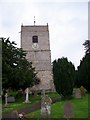
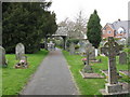
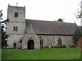
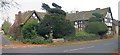
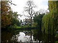
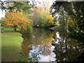
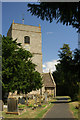
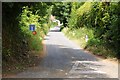
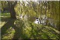
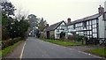
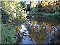
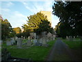
47 photos from this area
Area Information
Key information about the HR6 9BU including its size, population, and administrative classification.
- Area Type
- Postcode
- Area Size
- 7.2 hectares
- Population
- 1472
- Population Density
- 37 people/km²
House Prices in HR6 9BU
7
Properties
£317,421
Average Sold Price
£160,000
Lowest Price
£560,000
Highest Price
Showing 7 properties
| Address | Type | Beds | Baths | Last Sale Price | Last Sale Date | |
|---|---|---|---|---|---|---|
| Staick House, C 1035 From A 44 Via Eardisland To The A 4110, Eardisland, HR6 9BU | house | - | - | £200,000 | May 2021 | |
| Staick Cottage, C 1035 From A 44 Via Eardisland To The A 4110, Eardisland, HR6 9BU | house | - | - | £272,000 | Mar 2021 | |
| Arrow Lea, C 1035 From A 44 Via Eardisland To The A 4110, Eardisland, HR6 9BU | Detached | 4 | - | £535,000 | Apr 2017 | |
| Riverside, C 1035 From A 44 Via Eardisland To The A 4110, Eardisland, HR6 9BU | Detached | 4 | - | £560,000 | Nov 2016 | |
| The Granary, C 1035 From A 44 Via Eardisland To The A 4110, Eardisland, HR6 9BU | Detached | - | - | £249,950 | Jan 2006 | |
| Bridle Goose, C 1035 From A 44 Via Eardisland To The A 4110, Eardisland, HR6 9BU | house | - | - | £245,000 | May 2002 | |
| Swandrift, C 1035 From A 44 Via Eardisland To The A 4110, Eardisland, HR6 9BU | Detached | - | - | £160,000 | Nov 1997 |
Energy Efficiency in HR6 9BU
Amenities
Schools
| Rank | School | Type | Entry gender | Ages |
|---|
Explore more schools in this area
Go to Schools tabDemographics
Household Size
Two person
most common
Accommodation Type
Houses
most common
Tenure
78
majority
Ethnic Group
White
most common
Religion
N/A
most common
Household Composition
N/A
most common
Age
47
median
Adults (30-64 years)
most common
Household Deprivation
N/A
with no deprivation
NS-SEC
36
in Lower managerial occupations
Explore more demographic insights in this area
Go to Demographics tabPlanning
Planning Constraints
- Flood RiskPremium
- Ramsar Wetland SitesPremium
- Area of Outstanding Natural BeautyPremium
- Protected Nature ReservePremium
- Protected WoodlandPremium