Area Overview for HR6 8TE
Photos of HR6 8TE
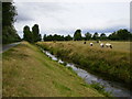
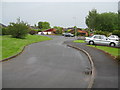
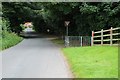
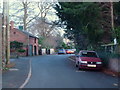


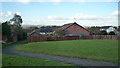
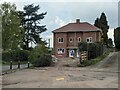
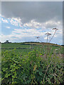
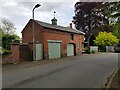
16 photos from this area
Area Information
Key information about the HR6 8TE including its size, population, and administrative classification.
- Area Type
- Postcode
- Area Size
- 3.9 hectares
- Population
- 1491
- Population Density
- 3690 people/km²
House Prices in HR6 8TE
27
Properties
£212,888
Average Sold Price
£58,000
Lowest Price
£450,000
Highest Price
Showing 27 properties
| Address | Type | Beds | Baths | Last Sale Price | Last Sale Date | |
|---|---|---|---|---|---|---|
| 15 The Rugg, Leominster, HR6 8TE | Bungalow | 3 | 1 | £285,000 | Oct 2024 | |
| 44 The Rugg, Leominster, HR6 8TE | house | 3 | 2 | £275,000 | Mar 2024 | |
| 14 The Rugg, Leominster, HR6 8TE | house | 5 | 2 | £450,000 | Jan 2023 | |
| 12 The Rugg, Leominster, HR6 8TE | house | 3 | 2 | £306,000 | Sep 2022 | |
| 19 The Rugg, Leominster, HR6 8TE | Bungalow | - | - | £245,000 | Nov 2021 | |
| 21 The Rugg, Leominster, HR6 8TE | house | - | - | £240,000 | Nov 2020 | |
| 5 The Rugg, Leominster, HR6 8TE | Detached | 4 | 1 | £240,000 | Mar 2020 | |
| 25 The Rugg, Leominster, HR6 8TE | house | - | - | £210,000 | Oct 2019 | |
| 48 The Rugg, Leominster, HR6 8TE | house | - | - | £235,000 | Aug 2019 | |
| 36 The Rugg, Leominster, HR6 8TE | house | - | - | £174,250 | Dec 2017 |
Page 1 of 3
Energy Efficiency in HR6 8TE
Amenities
Schools
| Rank | School | Type | Entry gender | Ages |
|---|
Explore more schools in this area
Go to Schools tabDemographics
Household Size
One person
most common
Accommodation Type
Houses
most common
Tenure
70
majority
Ethnic Group
White
most common
Religion
N/A
most common
Household Composition
N/A
most common
Age
47
median
Adults (30-64 years)
most common
Household Deprivation
N/A
with no deprivation
NS-SEC
26
in Lower managerial occupations
Explore more demographic insights in this area
Go to Demographics tabPlanning
Planning Constraints
- Flood RiskPremium
- Ramsar Wetland SitesPremium
- Area of Outstanding Natural BeautyPremium
- Protected Nature ReservePremium
- Protected WoodlandPremium