Area Overview for HR6 8QY
Photos of HR6 8QY
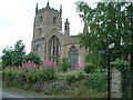
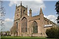
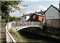
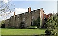
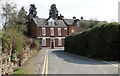
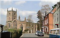
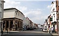
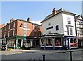
100 photos from this area
Area Information
Key information about the HR6 8QY including its size, population, and administrative classification.
- Area Type
- Postcode
- Area Size
- 1.5 hectares
- Population
- 1491
- Population Density
- 3690 people/km²
House Prices in HR6 8QY
40
Properties
£147,998
Average Sold Price
£47,000
Lowest Price
£245,000
Highest Price
Showing 40 properties
| Address | Type | Beds | Baths | Last Sale Price | Last Sale Date | |
|---|---|---|---|---|---|---|
| 29 The Meadows, Leominster, HR6 8QY | Bungalow | - | - | £240,000 | May 2025 | |
| 67 The Meadows, Leominster, HR6 8QY | Bungalow | 2 | 1 | £220,000 | Jul 2024 | |
| 57 The Meadows, Leominster, HR6 8QY | Bungalow | - | - | £140,000 | Nov 2023 | |
| Phoenicia, 53 The Meadows, Leominster, HR6 8QY | Bungalow | - | - | £229,950 | Nov 2022 | |
| 13 The Meadows, Leominster, HR6 8QY | house | - | - | £245,000 | Aug 2022 | |
| 3 The Meadows, Leominster, HR6 8QY | house | 2 | 1 | £205,000 | Jul 2022 | |
| 31 The Meadows, Leominster, HR6 8QY | Bungalow | - | - | £150,000 | Sep 2018 | |
| 39 The Meadows, Leominster, HR6 8QY | Bungalow | - | - | £167,500 | Nov 2017 | |
| 63 The Meadows, Leominster, HR6 8QY | Bungalow | - | - | £158,000 | Sep 2016 | |
| Wynburn, 83 The Meadows, Leominster, HR6 8QY | Semi-detached | 2 | 1 | £192,500 | Aug 2016 |
Page 1 of 4
Energy Efficiency in HR6 8QY
Amenities
Schools
| Rank | School | Type | Entry gender | Ages |
|---|
Explore more schools in this area
Go to Schools tabDemographics
Household Size
One person
most common
Accommodation Type
Houses
most common
Tenure
70
majority
Ethnic Group
White
most common
Religion
N/A
most common
Household Composition
N/A
most common
Age
47
median
Adults (30-64 years)
most common
Household Deprivation
N/A
with no deprivation
NS-SEC
26
in Lower managerial occupations
Explore more demographic insights in this area
Go to Demographics tabPlanning
Planning Constraints
- Flood RiskPremium
- Ramsar Wetland SitesPremium
- Area of Outstanding Natural BeautyPremium
- Protected Nature ReservePremium
- Protected WoodlandPremium