Area Overview for HR6 8NJ
Photos of HR6 8NJ
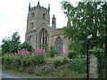
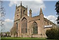
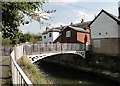
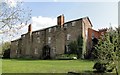
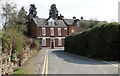
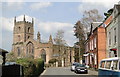
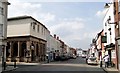
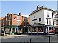
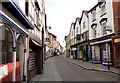
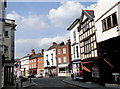
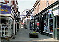
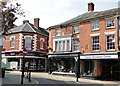
100 photos from this area
Area Information
Key information about the HR6 8NJ including its size, population, and administrative classification.
- Area Type
- Postcode
- Area Size
- 4795 m²
- Population
- 1650
- Population Density
- 2757 people/km²
House Prices in HR6 8NJ
7
Properties
£219,167
Average Sold Price
£210,000
Lowest Price
£237,500
Highest Price
Showing 7 properties
| Address | Type | Beds | Baths | Last Sale Price | Last Sale Date | |
|---|---|---|---|---|---|---|
| The Vicarage, 1A School Road, Leominster, HR6 8NJ | Detached | 3 | 2 | £237,500 | Feb 2014 | |
| Priory End, School Road, Leominster, HR6 8NJ | Semi-detached | - | - | £210,000 | Oct 2010 | |
| Priory Croft, School Road, Leominster, HR6 8NJ | Semi-detached | - | - | £210,000 | Oct 2008 | |
| Plot 1 Priory Croft Change Of Use From Dwelling To Residential Institutional Accommodation, School Road, Leominster, HR6 8NJ | Retirement | - | - | - | - | |
| Natural Health Centre, Leominster Community Centre, School Road, Leominster, HR6 8NJ | commercial | - | - | - | - | |
| Marches Family Network, Leominster Community Centre, School Road, Leominster, HR6 8NJ | Office | - | - | - | - | |
| Leominster Community Centre Day Nursery, Leominster Community Centre, School Road, Leominster, HR6 8NJ | commercial | - | - | - | - |
Energy Efficiency in HR6 8NJ
Amenities
Schools
| Rank | School | Type | Entry gender | Ages |
|---|
Explore more schools in this area
Go to Schools tabDemographics
Household Size
One person
most common
Accommodation Type
Houses
most common
Tenure
32
majority
Ethnic Group
White
most common
Religion
N/A
most common
Household Composition
N/A
most common
Age
47
median
Adults (30-64 years)
most common
Household Deprivation
N/A
with no deprivation
NS-SEC
19
in Lower managerial occupations
Explore more demographic insights in this area
Go to Demographics tabPlanning
Planning Constraints
- Flood RiskPremium
- Ramsar Wetland SitesPremium
- Area of Outstanding Natural BeautyPremium
- Protected Nature ReservePremium
- Protected WoodlandPremium