Area Overview for HR6 8JT
Photos of HR6 8JT
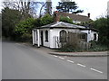

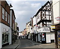
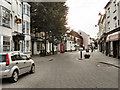
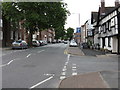
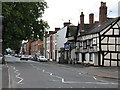
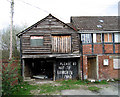
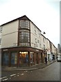
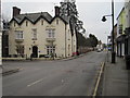
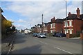
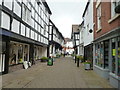
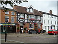
100 photos from this area
Area Information
Key information about the HR6 8JT including its size, population, and administrative classification.
- Area Type
- Postcode
- Area Size
- 1.6 hectares
- Population
- 1637
- Population Density
- 118 people/km²
House Prices in HR6 8JT
32
Properties
£249,250
Average Sold Price
£75,000
Lowest Price
£471,750
Highest Price
Showing 32 properties
| Address | Type | Beds | Baths | Last Sale Price | Last Sale Date | |
|---|---|---|---|---|---|---|
| Apple Blossom, Laundry Lane, Leominster, HR6 8JT | house | - | - | £247,500 | Mar 2018 | |
| The Elms, Laundry Lane, Leominster, HR6 8JT | Bungalow | 3 | 2 | £159,500 | Jan 2017 | |
| Elmsfield, Laundry Lane, Leominster, HR6 8JT | Detached | - | - | £471,750 | Jun 2014 | |
| Gwynfan, Laundry Lane, Leominster, HR6 8JT | Semi-detached | 4 | - | £292,500 | Mar 2005 | |
| Penrhos, Laundry Lane, Leominster, HR6 8JT | Detached | - | - | £75,000 | Mar 1996 | |
| The Lilacs, Laundry Lane, Leominster, HR6 8JT | Bungalow | 2 | - | - | - | |
| 17, Highgate Court, Laundry Lane, Leominster, HR6 8JT | Bungalow | 2 | - | - | - | |
| Pear Tree, Laundry Lane, Leominster, HR6 8JT | Semi-detached | - | - | - | - | |
| Annexe, The Lilacs, Laundry Lane, Leominster, HR6 8JT | Bungalow | - | - | - | - | |
| 19, Highgate Court, Laundry Lane, Leominster, HR6 8JT | Flat | - | - | - | - |
Page 1 of 4
Energy Efficiency in HR6 8JT
Amenities
Schools
| Rank | School | Type | Entry gender | Ages |
|---|
Explore more schools in this area
Go to Schools tabDemographics
Household Size
Two person
most common
Accommodation Type
Houses
most common
Tenure
65
majority
Ethnic Group
White
most common
Religion
N/A
most common
Household Composition
N/A
most common
Age
47
median
Adults (30-64 years)
most common
Household Deprivation
N/A
with no deprivation
NS-SEC
26
in Lower managerial occupations
Explore more demographic insights in this area
Go to Demographics tabPlanning
Planning Constraints
- Flood RiskPremium
- Ramsar Wetland SitesPremium
- Area of Outstanding Natural BeautyPremium
- Protected Nature ReservePremium
- Protected WoodlandPremium