Area Overview for HR6 0RB
Photos of HR6 0RB
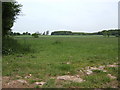
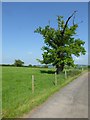
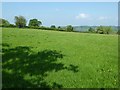
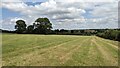
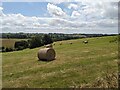
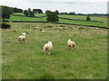
10 photos from this area
Area Information
Key information about the HR6 0RB including its size, population, and administrative classification.
- Area Type
- Postcode
- Area Size
- 56.4 hectares
- Population
- 1743
- Population Density
- 33 people/km²
House Prices in HR6 0RB
17
Properties
£365,000
Average Sold Price
£210,000
Lowest Price
£510,000
Highest Price
Showing 17 properties
| Address | Type | Beds | Baths | Last Sale Price | Last Sale Date | |
|---|---|---|---|---|---|---|
| Whitfield Cottage, Golder Field, Pudleston, HR6 0RB | house | - | - | £510,000 | Sep 2021 | |
| Long Friday Firs, Golder Field, Pudleston, HR6 0RB | Detached | - | - | £375,000 | Jun 2005 | |
| Highfield Farm, Golder Field, Pudleston, HR6 0RB | Detached | 5 | 3 | £210,000 | Oct 1999 | |
| Barnfield, Pudleston To Grafton Road, Pudleston, HR6 0RB | undefined | - | - | - | - | |
| Birchy Cottage, Pudleston To Grafton Road, Pudleston, HR6 0RB | Detached | - | - | - | - | |
| Coldheart, Track From U 94205 Bockleton To Mhdc Boundary, Pudleston, HR6 0RB | Detached | - | - | - | - | |
| Grafton Hill Cottage, Track From U 94205 Bockleton To Mhdc Boundary, Pudleston, HR6 0RB | Detached | 3 | 2 | - | - | |
| Staff Flat, Barnfield Farm, Barnfield Farm Access Off Whyle To Puddlestone Road, Pudleston, HR6 0RB | Flat | 1 | - | - | - | |
| Annexe, Barnfield Farm, Barnfield Farm Access Off Whyle To Puddlestone Road, Pudleston, HR6 0RB | Bungalow | 2 | - | - | - | |
| Meadow Cottage, Barnfield Farm, Barnfield Farm Access Off Whyle To Puddlestone Road, Pudleston, HR6 0RB | Bungalow | - | - | - | - |
Page 1 of 2
Energy Efficiency in HR6 0RB
Amenities
Schools
| Rank | School | Type | Entry gender | Ages |
|---|
Explore more schools in this area
Go to Schools tabDemographics
Household Size
Two person
most common
Accommodation Type
Houses
most common
Tenure
80
majority
Ethnic Group
White
most common
Religion
N/A
most common
Household Composition
N/A
most common
Age
47
median
Adults (30-64 years)
most common
Household Deprivation
N/A
with no deprivation
NS-SEC
38
in Lower managerial occupations
Explore more demographic insights in this area
Go to Demographics tabPlanning
Planning Constraints
- Flood RiskPremium
- Ramsar Wetland SitesPremium
- Area of Outstanding Natural BeautyPremium
- Protected Nature ReservePremium
- Protected WoodlandPremium