Area Overview for HR6 0HR
Photos of HR6 0HR
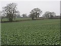

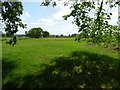
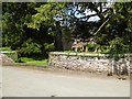
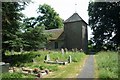
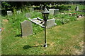
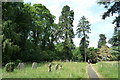
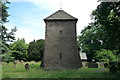
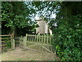
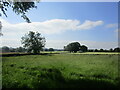
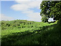
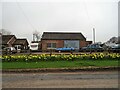
52 photos from this area
Area Information
Key information about the HR6 0HR including its size, population, and administrative classification.
- Area Type
- Postcode
- Area Size
- 49.2 hectares
- Population
- 1528
- Population Density
- 36 people/km²
House Prices in HR6 0HR
12
Properties
£411,000
Average Sold Price
£150,000
Lowest Price
£795,000
Highest Price
Showing 12 properties
| Address | Type | Beds | Baths | Last Sale Price | Last Sale Date | |
|---|---|---|---|---|---|---|
| Church Cottage, Cinders Lane, Leysters, HR6 0HR | house | - | - | £150,000 | Jan 2024 | |
| Crossroads Cottage, C 1052 Leysters To Bockleton Road, Leysters, HR6 0HR | house | - | - | £385,000 | Nov 2022 | |
| Church House Farm, Cinders Lane, Leysters, HR6 0HR | Detached | 5 | - | £795,000 | Mar 2021 | |
| The Moy, C 1052 Leysters To Bockleton Road, Leysters, HR6 0HR | house | - | - | £285,000 | Jul 2020 | |
| Rickyard Cottage, Cinders Lane, Leysters, HR6 0HR | house | - | - | £440,000 | Aug 2019 | |
| Crossways Cottage, C 1052 Leysters To Bockleton Road, Leysters, HR6 0HR | Detached | 5 | 3 | - | - | |
| Moss, Hill Crest, C 1052 Leysters To Bockleton Road, Leysters, HR6 0HR | Detached | - | - | - | - | |
| Hill Crest, C 1052 Leysters To Bockleton Road, Leysters, HR6 0HR | Bungalow | - | - | - | - | |
| Hazel Cottage, C 1052 Leysters To Bockleton Road, Leysters, HR6 0HR | Detached | - | - | - | - | |
| Church View, Cinders Lane, Leysters, HR6 0HR | Detached | - | - | - | - |
Page 1 of 2
Energy Efficiency in HR6 0HR
Amenities
Schools
| Rank | School | Type | Entry gender | Ages |
|---|
Explore more schools in this area
Go to Schools tabDemographics
Household Size
Two person
most common
Accommodation Type
Houses
most common
Tenure
80
majority
Ethnic Group
White
most common
Religion
N/A
most common
Household Composition
N/A
most common
Age
47
median
Adults (30-64 years)
most common
Household Deprivation
N/A
with no deprivation
NS-SEC
36
in Lower managerial occupations
Explore more demographic insights in this area
Go to Demographics tabPlanning
Planning Constraints
- Flood RiskPremium
- Ramsar Wetland SitesPremium
- Area of Outstanding Natural BeautyPremium
- Protected Nature ReservePremium
- Protected WoodlandPremium