Area Overview for HR4 9HY
Photos of HR4 9HY
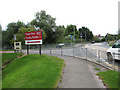
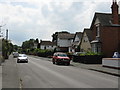
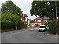
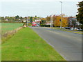
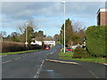
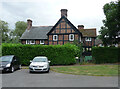

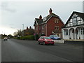
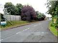
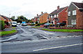
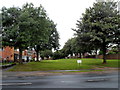
34 photos from this area
Area Information
Key information about the HR4 9HY including its size, population, and administrative classification.
- Area Type
- Postcode
- Area Size
- 3.3 hectares
- Population
- 1397
- Population Density
- 3287 people/km²
House Prices in HR4 9HY
61
Properties
£122,830
Average Sold Price
£42,000
Lowest Price
£253,000
Highest Price
Showing 61 properties
| Address | Type | Beds | Baths | Last Sale Price | Last Sale Date | |
|---|---|---|---|---|---|---|
| 6 Chequers Close, Hereford, HR4 9HY | coachHouse | 1 | 1 | £157,000 | Aug 2025 | |
| 67 Chequers Close, Hereford, HR4 9HY | Terraced | 2 | 1 | £197,500 | May 2024 | |
| 57 Chequers Close, Hereford, HR4 9HY | Terraced | 2 | 1 | £195,000 | Jan 2024 | |
| 31 Chequers Close, Hereford, HR4 9HY | Terraced | 2 | 1 | £189,950 | Jan 2024 | |
| Hollyfir House, 47 Chequers Close, Hereford, HR4 9HY | Terraced | 3 | 1 | £253,000 | Jul 2022 | |
| 43 Chequers Close, Hereford, HR4 9HY | house | - | - | £175,000 | Jul 2021 | |
| 14 Chequers Close, Hereford, HR4 9HY | Terraced | 2 | - | £162,750 | Mar 2021 | |
| 29 Chequers Close, Hereford, HR4 9HY | house | - | - | £109,365 | Feb 2021 | |
| 54 Chequers Close, Hereford, HR4 9HY | house | - | - | £165,000 | Oct 2020 | |
| 59 Chequers Close, Hereford, HR4 9HY | Terraced | 2 | 1 | £157,000 | Jul 2020 |
Page 1 of 7
Energy Efficiency in HR4 9HY
Amenities
Schools
| Rank | School | Type | Entry gender | Ages |
|---|
Explore more schools in this area
Go to Schools tabDemographics
Household Size
Two person
most common
Accommodation Type
Houses
most common
Tenure
71
majority
Ethnic Group
White
most common
Religion
N/A
most common
Household Composition
N/A
most common
Age
47
median
Adults (30-64 years)
most common
Household Deprivation
N/A
with no deprivation
NS-SEC
24
in Lower managerial occupations
Explore more demographic insights in this area
Go to Demographics tabPlanning
Planning Constraints
- Flood RiskPremium
- Ramsar Wetland SitesPremium
- Area of Outstanding Natural BeautyPremium
- Protected Nature ReservePremium
- Protected WoodlandPremium