Area Overview for HR4 8FG
Photos of HR4 8FG
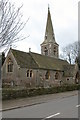
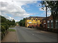
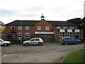
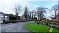
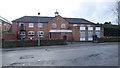
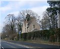
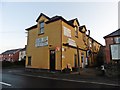
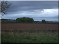
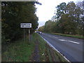
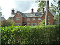
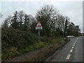
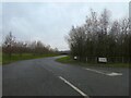
30 photos from this area
Area Information
Key information about the HR4 8FG including its size, population, and administrative classification.
- Area Type
- Postcode
- Area Size
- 2.6 hectares
- Population
- 1805
- Population Density
- 237 people/km²
House Prices in HR4 8FG
12
Properties
£411,900
Average Sold Price
£125,000
Lowest Price
£777,500
Highest Price
Showing 12 properties
| Address | Type | Beds | Baths | Last Sale Price | Last Sale Date | |
|---|---|---|---|---|---|---|
| 10 Bishops Walk, Moreton On Lugg, HR4 8FG | Detached | 4 | 2 | £777,500 | Mar 2025 | |
| 7 Bishops Walk, Moreton On Lugg, HR4 8FG | house | - | - | £550,000 | Mar 2021 | |
| 3 Bishops Walk, Moreton On Lugg, HR4 8FG | Detached | 4 | 2 | £479,000 | Nov 2020 | |
| 8 Bishops Walk, Moreton On Lugg, HR4 8FG | house | - | - | £128,000 | Nov 2018 | |
| 9 Bishops Walk, Moreton On Lugg, HR4 8FG | house | - | - | £125,000 | Nov 2018 | |
| 1 Bishops Walk, Moreton On Lugg, HR4 8FG | Detached | 5 | 4 | - | - | |
| Caravan At 5 Bishops Walk, Ordnance Close, Moreton On Lugg, HR4 8FG | Retail | 5 | 3 | - | - | |
| 4 Bishops Walk, Moreton On Lugg, HR4 8FG | Detached | - | - | - | - | |
| Herefordshire Quality Meats, The Shambles, B 4230 Kington Road, Weobley, HR4 8FG | shop | - | - | - | - | |
| 6 Bishops Walk, Moreton On Lugg, HR4 8FG | house | - | - | - | - |
Page 1 of 2
Energy Efficiency in HR4 8FG
Amenities
Schools
| Rank | School | Type | Entry gender | Ages |
|---|
Explore more schools in this area
Go to Schools tabDemographics
Household Size
Two person
most common
Accommodation Type
Houses
most common
Tenure
78
majority
Ethnic Group
White
most common
Religion
N/A
most common
Household Composition
N/A
most common
Age
47
median
Adults (30-64 years)
most common
Household Deprivation
N/A
with no deprivation
NS-SEC
35
in Lower managerial occupations
Explore more demographic insights in this area
Go to Demographics tabPlanning
Planning Constraints
- Flood RiskPremium
- Ramsar Wetland SitesPremium
- Area of Outstanding Natural BeautyPremium
- Protected Nature ReservePremium
- Protected WoodlandPremium