Area Overview for HR4 0JU
Photos of HR4 0JU
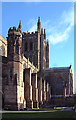
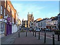
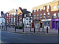
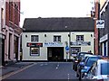
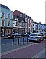
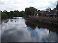
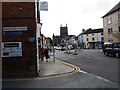
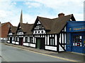
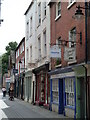
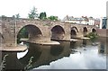
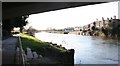

100 photos from this area
Area Information
Key information about the HR4 0JU including its size, population, and administrative classification.
- Area Type
- Postcode
- Area Size
- 1.7 hectares
- Population
- 1769
- Population Density
- 1856 people/km²
House Prices in HR4 0JU
29
Properties
£279,000
Average Sold Price
£185,500
Lowest Price
£515,000
Highest Price
Showing 29 properties
| Address | Type | Beds | Baths | Last Sale Price | Last Sale Date | |
|---|---|---|---|---|---|---|
| 19 Breinton Road, Hereford, HR4 0JU | house | - | - | £300,000 | Sep 2021 | |
| 39 Breinton Road, Hereford, HR4 0JU | house | - | - | £515,000 | Apr 2017 | |
| 41 Breinton Road, Hereford, HR4 0JU | house | - | - | £385,000 | Nov 2014 | |
| 17 Breinton Road, Hereford, HR4 0JU | Terraced | - | - | £212,500 | May 2012 | |
| 11 Breinton Road, Hereford, HR4 0JU | Terraced | - | - | £190,000 | Dec 2007 | |
| 21 Breinton Road, Hereford, HR4 0JU | Terraced | - | - | £220,000 | Oct 2006 | |
| 29 Breinton Road, Hereford, HR4 0JU | Semi-detached | - | - | £185,500 | Aug 2002 | |
| 33 Breinton Road, Hereford, HR4 0JU | Detached | - | - | £224,000 | Feb 2001 | |
| Flat 2, 3 Breinton Road, Hereford, HR4 0JU | Flat | 1 | 1 | - | - | |
| Flat 3, 3 Breinton Road, Hereford, HR4 0JU | Flat | 1 | 1 | - | - |
Page 1 of 3
Energy Efficiency in HR4 0JU
Amenities
Schools
| Rank | School | Type | Entry gender | Ages |
|---|
Explore more schools in this area
Go to Schools tabDemographics
Household Size
Two person
most common
Accommodation Type
Houses
most common
Tenure
74
majority
Ethnic Group
White
most common
Religion
N/A
most common
Household Composition
N/A
most common
Age
47
median
Adults (30-64 years)
most common
Household Deprivation
N/A
with no deprivation
NS-SEC
36
in Lower managerial occupations
Explore more demographic insights in this area
Go to Demographics tabPlanning
Planning Constraints
- Flood RiskPremium
- Ramsar Wetland SitesPremium
- Area of Outstanding Natural BeautyPremium
- Protected Nature ReservePremium
- Protected WoodlandPremium