Area Overview for HR2 8NN
Photos of HR2 8NN
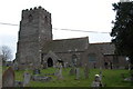
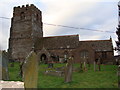
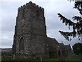
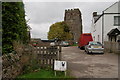
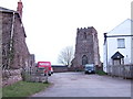
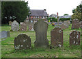
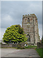

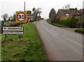
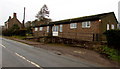
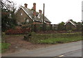
100 photos from this area
Area Information
Key information about the HR2 8NN including its size, population, and administrative classification.
- Area Type
- Postcode
- Area Size
- 23.7 hectares
- Population
- 1918
- Population Density
- 29 people/km²
House Prices in HR2 8NN
13
Properties
£181,250
Average Sold Price
£102,500
Lowest Price
£280,000
Highest Price
Showing 13 properties
| Address | Type | Beds | Baths | Last Sale Price | Last Sale Date | |
|---|---|---|---|---|---|---|
| 4 Mount Way, St Weonards, HR2 8NN | Bungalow | - | - | £280,000 | Oct 2025 | |
| 6 Mount Way, St Weonards, HR2 8NN | Bungalow | 3 | 2 | £200,000 | Jun 2009 | |
| Ty Croeso, 7 Mount Way, St Weonards, HR2 8NN | Detached | - | - | £142,500 | Dec 2002 | |
| 11 Mount Way, St Weonards, HR2 8NN | Detached | - | - | £102,500 | Oct 1996 | |
| 3 Mount Way, St Weonards, HR2 8NN | Bungalow | 3 | 1 | - | - | |
| 10 Mount Way, St Weonards, HR2 8NN | Detached | 3 | 1 | - | - | |
| 2 Mount Way, St Weonards, HR2 8NN | Detached | 3 | 3 | - | - | |
| 8 Mount Way, St Weonards, HR2 8NN | Bungalow | 4 | 2 | - | - | |
| Shining Stars Pre-school, St Weonards Playgroup, St Weonards Primary School, Mount Way, St Weonards, HR2 8NN | commercial | - | - | - | - | |
| 1 Mount Way, St Weonards, HR2 8NN | Detached | - | - | - | - |
Page 1 of 2
Energy Efficiency in HR2 8NN
Amenities
Schools
| Rank | School | Type | Entry gender | Ages |
|---|
Explore more schools in this area
Go to Schools tabDemographics
Household Size
Two person
most common
Accommodation Type
Houses
most common
Tenure
80
majority
Ethnic Group
White
most common
Religion
N/A
most common
Household Composition
N/A
most common
Age
47
median
Adults (30-64 years)
most common
Household Deprivation
N/A
with no deprivation
NS-SEC
41
in Lower managerial occupations
Explore more demographic insights in this area
Go to Demographics tabPlanning
Planning Constraints
- Flood RiskPremium
- Ramsar Wetland SitesPremium
- Area of Outstanding Natural BeautyPremium
- Protected Nature ReservePremium
- Protected WoodlandPremium