Area Overview for HR2 7RW
Photos of HR2 7RW
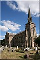
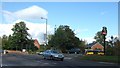
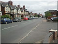
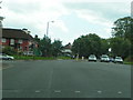
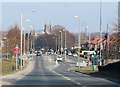
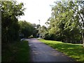
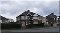
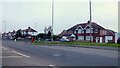
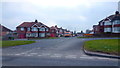
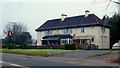
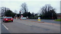
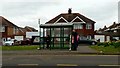
100 photos from this area
Area Information
Key information about the HR2 7RW including its size, population, and administrative classification.
- Area Type
- Postcode
- Area Size
- 4939 m²
- Population
- 2304
- Population Density
- 5356 people/km²
House Prices in HR2 7RW
10
Properties
£155,418
Average Sold Price
£119,950
Lowest Price
£185,000
Highest Price
Showing 10 properties
| Address | Type | Beds | Baths | Last Sale Price | Last Sale Date | |
|---|---|---|---|---|---|---|
| 102 Ross Road, Hereford, HR2 7RW | Semi-detached | 3 | - | £156,140 | Apr 2025 | |
| 94 Ross Road, Hereford, HR2 7RW | Semi-detached | 3 | - | £156,500 | May 2014 | |
| 100 Ross Road, Hereford, HR2 7RW | house | - | - | £159,500 | Oct 2012 | |
| 90 Ross Road, Hereford, HR2 7RW | Semi-detached | - | - | £185,000 | Feb 2005 | |
| 92 Ross Road, Hereford, HR2 7RW | house | - | - | £119,950 | Sep 2003 | |
| 96 Ross Road, Hereford, HR2 7RW | Semi-detached | - | - | - | - | |
| 106 Ross Road, Hereford, HR2 7RW | Semi-detached | - | - | - | - | |
| 108 Ross Road, Hereford, HR2 7RW | Semi-detached | - | - | - | - | |
| 98 Ross Road, Hereford, HR2 7RW | Semi-detached | - | - | - | - | |
| 104 Ross Road, Hereford, HR2 7RW | Semi-detached | - | - | - | - |
Energy Efficiency in HR2 7RW
Amenities
Schools
| Rank | School | Type | Entry gender | Ages |
|---|
Explore more schools in this area
Go to Schools tabDemographics
Household Size
Family (3-5 people)
most common
Accommodation Type
Houses
most common
Tenure
72
majority
Ethnic Group
White
most common
Religion
N/A
most common
Household Composition
N/A
most common
Age
47
median
Adults (30-64 years)
most common
Household Deprivation
N/A
with no deprivation
NS-SEC
27
in Lower managerial occupations
Explore more demographic insights in this area
Go to Demographics tabPlanning
Planning Constraints
- Flood RiskPremium
- Ramsar Wetland SitesPremium
- Area of Outstanding Natural BeautyPremium
- Protected Nature ReservePremium
- Protected WoodlandPremium