Area Overview for HR2 7RR
Photos of HR2 7RR
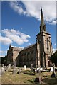
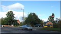
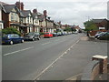
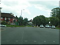
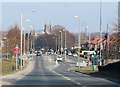
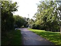
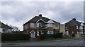
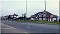
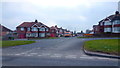
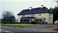
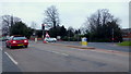
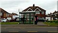
100 photos from this area
Area Information
Key information about the HR2 7RR including its size, population, and administrative classification.
- Area Type
- Postcode
- Area Size
- 5935 m²
- Population
- 2304
- Population Density
- 5356 people/km²
House Prices in HR2 7RR
12
Properties
£219,050
Average Sold Price
£71,500
Lowest Price
£365,000
Highest Price
Showing 12 properties
| Address | Type | Beds | Baths | Last Sale Price | Last Sale Date | |
|---|---|---|---|---|---|---|
| 187 Ross Road, Hereford, HR2 7RR | house | 3 | 1 | £265,000 | Oct 2025 | |
| 205 Ross Road, Hereford, HR2 7RR | Detached | 4 | 2 | £365,000 | Sep 2025 | |
| 193 Ross Road, Hereford, HR2 7RR | Semi-detached | 3 | 2 | £277,000 | Apr 2025 | |
| 203 Ross Road, Hereford, HR2 7RR | house | - | - | £220,000 | May 2023 | |
| 195 Ross Road, Hereford, HR2 7RR | house | - | - | £263,000 | Jan 2023 | |
| 183 Ross Road, Hereford, HR2 7RR | Semi-detached | 3 | 1 | £225,000 | Jul 2020 | |
| 185 Ross Road, Hereford, HR2 7RR | house | - | - | £187,000 | May 2019 | |
| 197 Ross Road, Hereford, HR2 7RR | house | - | - | £160,000 | Oct 2016 | |
| 191 Ross Road, Hereford, HR2 7RR | Semi-detached | 3 | - | £157,000 | Nov 2014 | |
| 201 Ross Road, Hereford, HR2 7RR | Semi-detached | - | - | £71,500 | Mar 2000 |
Page 1 of 2
Energy Efficiency in HR2 7RR
Amenities
Schools
| Rank | School | Type | Entry gender | Ages |
|---|
Explore more schools in this area
Go to Schools tabDemographics
Household Size
Family (3-5 people)
most common
Accommodation Type
Houses
most common
Tenure
72
majority
Ethnic Group
White
most common
Religion
N/A
most common
Household Composition
N/A
most common
Age
47
median
Adults (30-64 years)
most common
Household Deprivation
N/A
with no deprivation
NS-SEC
27
in Lower managerial occupations
Explore more demographic insights in this area
Go to Demographics tabPlanning
Planning Constraints
- Flood RiskPremium
- Ramsar Wetland SitesPremium
- Area of Outstanding Natural BeautyPremium
- Protected Nature ReservePremium
- Protected WoodlandPremium