Area Overview for HR2 6RJ
Photos of HR2 6RJ
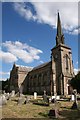
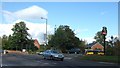
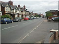
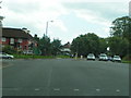
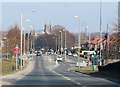
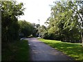
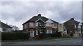
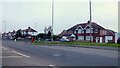
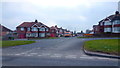
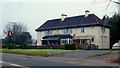
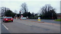
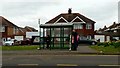
100 photos from this area
Area Information
Key information about the HR2 6RJ including its size, population, and administrative classification.
- Area Type
- Postcode
- Area Size
- 1.9 hectares
- Population
- 2304
- Population Density
- 5356 people/km²
House Prices in HR2 6RJ
66
Properties
£210,611
Average Sold Price
£90,475
Lowest Price
£399,950
Highest Price
Showing 66 properties
| Address | Type | Beds | Baths | Last Sale Price | Last Sale Date | |
|---|---|---|---|---|---|---|
| 10 Waggoners Way, Hereford, HR2 6RJ | Semi-detached | 3 | 2 | £250,000 | Feb 2025 | |
| 44 Waggoners Way, Hereford, HR2 6RJ | Terraced | 3 | 2 | £252,500 | Jul 2024 | |
| 5 Waggoners Way, Hereford, HR2 6RJ | Detached | 4 | 2 | £298,000 | Mar 2024 | |
| 62 Waggoners Way, Hereford, HR2 6RJ | Detached | 4 | 2 | £347,500 | Sep 2023 | |
| 56 Waggoners Way, Hereford, HR2 6RJ | Detached | 6 | 4 | £395,000 | Aug 2023 | |
| 49 Waggoners Way, Hereford, HR2 6RJ | Terraced | 3 | 2 | £254,000 | May 2023 | |
| 55 Waggoners Way, Hereford, HR2 6RJ | house | 2 | 1 | £255,000 | Apr 2023 | |
| 6 Waggoners Way, Hereford, HR2 6RJ | Terraced | 5 | 3 | £295,000 | Feb 2023 | |
| 30 Waggoners Way, Hereford, HR2 6RJ | Semi-detached | 3 | 1 | £175,700 | Oct 2022 | |
| 58 Waggoners Way, Hereford, HR2 6RJ | Retail | 4 | 2 | £355,000 | Oct 2022 |
Page 1 of 7
Energy Efficiency in HR2 6RJ
Amenities
Schools
| Rank | School | Type | Entry gender | Ages |
|---|
Explore more schools in this area
Go to Schools tabDemographics
Household Size
Family (3-5 people)
most common
Accommodation Type
Houses
most common
Tenure
72
majority
Ethnic Group
White
most common
Religion
N/A
most common
Household Composition
N/A
most common
Age
47
median
Adults (30-64 years)
most common
Household Deprivation
N/A
with no deprivation
NS-SEC
27
in Lower managerial occupations
Explore more demographic insights in this area
Go to Demographics tabPlanning
Planning Constraints
- Flood RiskPremium
- Ramsar Wetland SitesPremium
- Area of Outstanding Natural BeautyPremium
- Protected Nature ReservePremium
- Protected WoodlandPremium