Area Overview for HR2 6LJ
Photos of HR2 6LJ
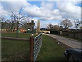
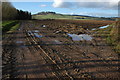


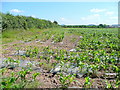
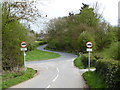
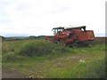
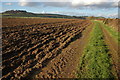
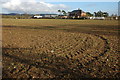
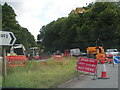
14 photos from this area
Area Information
Key information about the HR2 6LJ including its size, population, and administrative classification.
- Area Type
- Postcode
- Area Size
- 71.3 hectares
- Population
- 2050
- Population Density
- 39 people/km²
House Prices in HR2 6LJ
23
Properties
£429,500
Average Sold Price
£280,000
Lowest Price
£600,000
Highest Price
Showing 23 properties
| Address | Type | Beds | Baths | Last Sale Price | Last Sale Date | |
|---|---|---|---|---|---|---|
| Mitchmore House, From B 4399 To Redbrook Property, Holme Lacy, HR2 6LJ | house | - | - | £420,000 | Mar 2021 | |
| Orchard Dell, From B 4399 To Redbrook Property, Holme Lacy, HR2 6LJ | house | 4 | 3 | £600,000 | Dec 2020 | |
| Mears Croft, From B 4399 To Redbrook Property, Holme Lacy, HR2 6LJ | Semi-detached | 3 | 2 | £385,000 | Feb 2020 | |
| Wood Meadows, From B 4399 To Redbrook Property, Holme Lacy, HR2 6LJ | house | - | - | £365,000 | Oct 2019 | |
| The Freelands, From B 4399 To Redbrook Property, Holme Lacy, HR2 6LJ | house | - | - | £550,000 | Jul 2018 | |
| Heathfield House, B 4399 From Dinedor Mill Bridge To B 4224, Holme Lacy, HR2 6LJ | Detached | 4 | - | £490,000 | Oct 2015 | |
| Jade House, From B 4399 To Redbrook Property, Holme Lacy, HR2 6LJ | house | - | - | £280,000 | May 2013 | |
| Wyecroft, B 4399 From Dinedor Mill Bridge To B 4224, Holme Lacy, HR2 6LJ | Bungalow | 3 | - | £346,000 | Nov 2011 | |
| Redbrook, From B 4399 To Redbrook Property, Holme Lacy, HR2 6LJ | Farm | 4 | - | - | - | |
| Chalet 2, Heathfield House, B 4399 From Dinedor Mill Bridge To B 4224, Holme Lacy, HR2 6LJ | Flat | - | - | - | - |
Page 1 of 3
Energy Efficiency in HR2 6LJ
Amenities
Schools
| Rank | School | Type | Entry gender | Ages |
|---|
Explore more schools in this area
Go to Schools tabDemographics
Household Size
Two person
most common
Accommodation Type
Houses
most common
Tenure
78
majority
Ethnic Group
White
most common
Religion
N/A
most common
Household Composition
N/A
most common
Age
47
median
Adults (30-64 years)
most common
Household Deprivation
N/A
with no deprivation
NS-SEC
38
in Lower managerial occupations
Explore more demographic insights in this area
Go to Demographics tabPlanning
Planning Constraints
- Flood RiskPremium
- Ramsar Wetland SitesPremium
- Area of Outstanding Natural BeautyPremium
- Protected Nature ReservePremium
- Protected WoodlandPremium