Area Overview for HR2 6AG
Photos of HR2 6AG
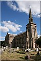
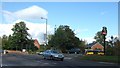
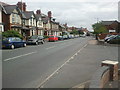
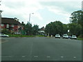
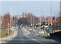
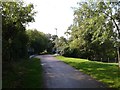
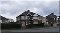
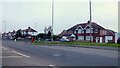
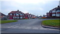
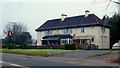
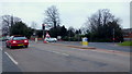
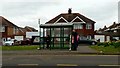
100 photos from this area
Area Information
Key information about the HR2 6AG including its size, population, and administrative classification.
- Area Type
- Postcode
- Area Size
- 1.4 hectares
- Population
- 1484
- Population Density
- 2267 people/km²
House Prices in HR2 6AG
28
Properties
£138,339
Average Sold Price
£31,841
Lowest Price
£240,000
Highest Price
Showing 28 properties
| Address | Type | Beds | Baths | Last Sale Price | Last Sale Date | |
|---|---|---|---|---|---|---|
| 17 Laburnum Grove, Hereford, HR2 6AG | Semi-detached | 2 | 1 | £215,000 | Feb 2025 | |
| Church View, 22A Laburnum Grove, Hereford, HR2 6AG | Bungalow | - | - | £67,200 | Feb 2022 | |
| 13 Laburnum Grove, Hereford, HR2 6AG | Terraced | 4 | - | £222,000 | Jan 2022 | |
| 22 Laburnum Grove, Hereford, HR2 6AG | house | - | - | £240,000 | Dec 2021 | |
| 5 Laburnum Grove, Hereford, HR2 6AG | house | - | - | £230,000 | Dec 2021 | |
| 3 Laburnum Grove, Hereford, HR2 6AG | Terraced | 2 | - | £167,500 | Jun 2021 | |
| 28 Laburnum Grove, Hereford, HR2 6AG | Terraced | 3 | 1 | £188,000 | Apr 2018 | |
| 30 Laburnum Grove, Hereford, HR2 6AG | house | - | - | £86,250 | Mar 2015 | |
| 32 Laburnum Grove, Hereford, HR2 6AG | Terraced | - | - | £151,000 | Jun 2007 | |
| 11 Laburnum Grove, Hereford, HR2 6AG | house | - | - | £99,000 | Mar 2007 |
Page 1 of 3
Energy Efficiency in HR2 6AG
Amenities
Schools
| Rank | School | Type | Entry gender | Ages |
|---|
Explore more schools in this area
Go to Schools tabDemographics
Household Size
One person
most common
Accommodation Type
Houses
most common
Tenure
36
majority
Ethnic Group
White
most common
Religion
N/A
most common
Household Composition
N/A
most common
Age
47
median
Adults (30-64 years)
most common
Household Deprivation
N/A
with no deprivation
NS-SEC
18
in Lower managerial occupations
Explore more demographic insights in this area
Go to Demographics tabPlanning
Planning Constraints
- Flood RiskPremium
- Ramsar Wetland SitesPremium
- Area of Outstanding Natural BeautyPremium
- Protected Nature ReservePremium
- Protected WoodlandPremium