Area Overview for HR1 4QY
Photos of HR1 4QY
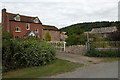
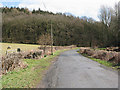
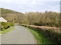
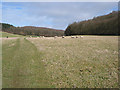
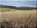
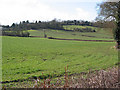
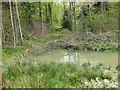
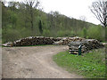
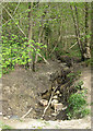
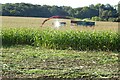
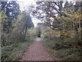
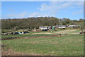
20 photos from this area
Area Information
Key information about the HR1 4QY including its size, population, and administrative classification.
- Area Type
- Postcode
- Area Size
- 57.9 hectares
- Population
- 1323
- Population Density
- 29 people/km²
House Prices in HR1 4QY
8
Properties
£318,167
Average Sold Price
£45,000
Lowest Price
£547,500
Highest Price
Showing 8 properties
| Address | Type | Beds | Baths | Last Sale Price | Last Sale Date | |
|---|---|---|---|---|---|---|
| The Hawthorns, Terrace Farm Road, Woolhope, HR1 4QY | house | - | - | £547,500 | Oct 2020 | |
| Broadmoor Chapel, Terrace Farm Road, Woolhope, HR1 4QY | house | - | - | £45,000 | Mar 2017 | |
| Hazelwood, Terrace Farm Road, Woolhope, HR1 4QY | Detached | - | - | £362,000 | Aug 2004 | |
| The Cottage, Terrace Farm Road, Woolhope, HR1 4QY | Detached | - | - | - | - | |
| Yew Tree Cottage, Terrace Farm Road, Woolhope, HR1 4QY | Detached | - | - | - | - | |
| Broadlands, Terrace Farm Road, Woolhope, HR1 4QY | Detached | - | - | - | - | |
| Linkswell Farm, Terrace Farm Road, Woolhope, HR1 4QY | Detached | - | - | - | - | |
| The Leys, Terrace Farm Road, Woolhope, HR1 4QY | Bungalow | - | - | - | - |
Energy Efficiency in HR1 4QY
Amenities
Schools
| Rank | School | Type | Entry gender | Ages |
|---|
Explore more schools in this area
Go to Schools tabDemographics
Household Size
Two person
most common
Accommodation Type
Houses
most common
Tenure
70
majority
Ethnic Group
White
most common
Religion
N/A
most common
Household Composition
N/A
most common
Age
47
median
Adults (30-64 years)
most common
Household Deprivation
N/A
with no deprivation
NS-SEC
38
in Lower managerial occupations
Explore more demographic insights in this area
Go to Demographics tabPlanning
Planning Constraints
- Flood RiskPremium
- Ramsar Wetland SitesPremium
- Protected Nature ReservePremium
- Protected WoodlandPremium