Area Overview for HR1 4AF
Photos of HR1 4AF
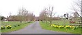
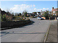
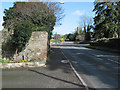
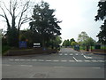
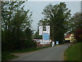
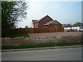
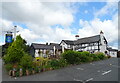
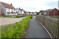
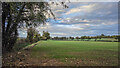
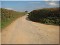
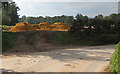
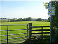
27 photos from this area
Area Information
Key information about the HR1 4AF including its size, population, and administrative classification.
- Area Type
- Postcode
- Area Size
- 4.0 hectares
- Population
- 2327
- Population Density
- 227 people/km²
House Prices in HR1 4AF
36
Properties
£284,387
Average Sold Price
£85,000
Lowest Price
£440,000
Highest Price
Showing 36 properties
| Address | Type | Beds | Baths | Last Sale Price | Last Sale Date | |
|---|---|---|---|---|---|---|
| Fairway 25, Traherne Close, Lugwardine, HR1 4AF | Bungalow | 3 | 2 | £375,000 | Jan 2025 | |
| Netherwood 17, Traherne Close, Lugwardine, HR1 4AF | Bungalow | 3 | 1 | £360,000 | Feb 2024 | |
| 26 Traherne Close, Lugwardine, HR1 4AF | Bungalow | 3 | 1 | £385,000 | Feb 2024 | |
| 20 Traherne Close, Lugwardine, HR1 4AF | Bungalow | - | - | £440,000 | Dec 2022 | |
| 21 Traherne Close, Lugwardine, HR1 4AF | Retail | 3 | 1 | £376,000 | Nov 2022 | |
| 13 Traherne Close, Lugwardine, HR1 4AF | Retail | 3 | 1 | £360,000 | Apr 2022 | |
| 15 Traherne Close, Lugwardine, HR1 4AF | Bungalow | - | - | £366,000 | Dec 2021 | |
| 28 Traherne Close, Lugwardine, HR1 4AF | Bungalow | - | - | £394,950 | Oct 2021 | |
| 4 Traherne Close, Lugwardine, HR1 4AF | house | - | - | £395,000 | Sep 2021 | |
| 9 Traherne Close, Lugwardine, HR1 4AF | Bungalow | - | - | £261,000 | Aug 2019 |
Page 1 of 4
Energy Efficiency in HR1 4AF
Amenities
Schools
| Rank | School | Type | Entry gender | Ages |
|---|
Explore more schools in this area
Go to Schools tabDemographics
Household Size
Two person
most common
Accommodation Type
Houses
most common
Tenure
83
majority
Ethnic Group
White
most common
Religion
N/A
most common
Household Composition
N/A
most common
Age
47
median
Adults (30-64 years)
most common
Household Deprivation
N/A
with no deprivation
NS-SEC
43
in Lower managerial occupations
Explore more demographic insights in this area
Go to Demographics tabPlanning
Planning Constraints
- Flood RiskPremium
- Ramsar Wetland SitesPremium
- Area of Outstanding Natural BeautyPremium
- Protected Nature ReservePremium
- Protected WoodlandPremium