Area Overview for HR1 3SB
Photos of HR1 3SB
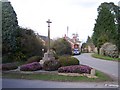
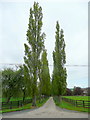
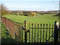
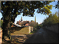
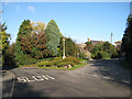
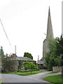
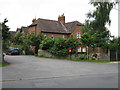
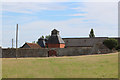
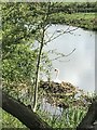
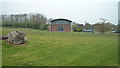
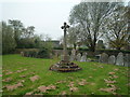
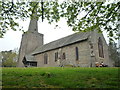
63 photos from this area
Area Information
Key information about the HR1 3SB including its size, population, and administrative classification.
- Area Type
- Postcode
- Area Size
- 2.0 hectares
- Population
- 1971
- Population Density
- 113 people/km²
House Prices in HR1 3SB
7
Properties
£314,583
Average Sold Price
£247,000
Lowest Price
£387,500
Highest Price
Showing 7 properties
| Address | Type | Beds | Baths | Last Sale Price | Last Sale Date | |
|---|---|---|---|---|---|---|
| Field View, C 1130 From Withington To Whitestone Business Park, Whitestone, HR1 3SB | Retail | 2 | 1 | £308,000 | Oct 2022 | |
| Bank Cottage, C 1130 From Withington To Whitestone Business Park, Whitestone, HR1 3SB | Cottage | 3 | 1 | £292,500 | Jun 2022 | |
| Russets, C 1130 From Withington To Whitestone Business Park, Whitestone, HR1 3SB | house | - | - | £332,500 | Sep 2019 | |
| Orchard Rise, C 1130 From Withington To Whitestone Business Park, Whitestone, HR1 3SB | Detached | 4 | 2 | £320,000 | Jul 2018 | |
| Golden Dale, C 1130 From Withington To Whitestone Business Park, Whitestone, HR1 3SB | Bungalow | 4 | 3 | £387,500 | Apr 2015 | |
| Little Bank Cottage, C 1130 From Withington To Whitestone Business Park, Whitestone, HR1 3SB | Detached | - | - | £247,000 | Jun 2007 | |
| Whitehouse, C 1130 From Withington To Whitestone Business Park, Whitestone, HR1 3SB | Detached | 3 | 1 | - | - |
Energy Efficiency in HR1 3SB
Amenities
Schools
| Rank | School | Type | Entry gender | Ages |
|---|
Explore more schools in this area
Go to Schools tabDemographics
Household Size
Two person
most common
Accommodation Type
Houses
most common
Tenure
71
majority
Ethnic Group
White
most common
Religion
N/A
most common
Household Composition
N/A
most common
Age
47
median
Adults (30-64 years)
most common
Household Deprivation
N/A
with no deprivation
NS-SEC
36
in Lower managerial occupations
Explore more demographic insights in this area
Go to Demographics tabPlanning
Planning Constraints
- Flood RiskPremium
- Ramsar Wetland SitesPremium
- Area of Outstanding Natural BeautyPremium
- Protected Nature ReservePremium
- Protected WoodlandPremium