Area Overview for HR1 3PB
Photos of HR1 3PB
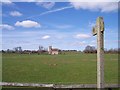
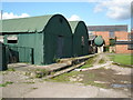
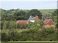
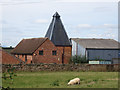
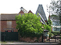
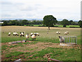
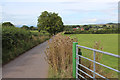
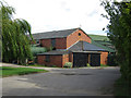
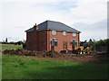
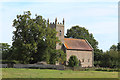
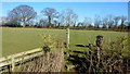
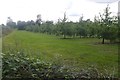
56 photos from this area
Area Information
Key information about the HR1 3PB including its size, population, and administrative classification.
- Area Type
- Postcode
- Area Size
- 1.5 km²
- Population
- 1971
- Population Density
- 113 people/km²
House Prices in HR1 3PB
30
Properties
£319,600
Average Sold Price
£210,000
Lowest Price
£510,000
Highest Price
Showing 30 properties
| Address | Type | Beds | Baths | Last Sale Price | Last Sale Date | |
|---|---|---|---|---|---|---|
| The Pentre, Preston Wynne Loop Road, Preston Wynne, HR1 3PB | Bungalow | 4 | - | £510,000 | Aug 2021 | |
| Cleeve Lodge, Preston Wynne Loop Road, Preston Wynne, HR1 3PB | Bungalow | 3 | - | £313,000 | Feb 2017 | |
| The Old School, Preston Wynne Loop Road, Preston Wynne, HR1 3PB | house | - | - | £330,000 | Aug 2016 | |
| Llamedos, Preston Wynne Loop Road, Preston Wynne, HR1 3PB | Detached | - | - | £210,000 | Aug 2006 | |
| Stocks Tree, Preston Wynne Loop Road, Preston Wynne, HR1 3PB | Semi-detached | - | - | £235,000 | Aug 1998 | |
| Plot 1 Land Adjacent The Steppes Proposed New 3BED Dwelling, Preston Wynne Loop Road, Preston Wynne, HR1 3PB | Detached | - | - | - | - | |
| Hopyard New House Farm, Preston Wynne Loop Road, Preston Wynne, HR1 3PB | Detached | - | - | - | - | |
| Cyder Mill, Preston Wynne Loop Road, Preston Wynne, HR1 3PB | Terraced | - | - | - | - | |
| The Granary, Preston Wynne Loop Road, Preston Wynne, HR1 3PB | Terraced | - | - | - | - | |
| Lower Chapel Orchard, Preston Wynne Loop Road, Preston Wynne, HR1 3PB | Bungalow | - | - | - | - |
Page 1 of 3
Energy Efficiency in HR1 3PB
Amenities
Schools
| Rank | School | Type | Entry gender | Ages |
|---|
Explore more schools in this area
Go to Schools tabDemographics
Household Size
Two person
most common
Accommodation Type
Houses
most common
Tenure
71
majority
Ethnic Group
White
most common
Religion
N/A
most common
Household Composition
N/A
most common
Age
47
median
Adults (30-64 years)
most common
Household Deprivation
N/A
with no deprivation
NS-SEC
36
in Lower managerial occupations
Explore more demographic insights in this area
Go to Demographics tabPlanning
Planning Constraints
- Flood RiskPremium
- Ramsar Wetland SitesPremium
- Area of Outstanding Natural BeautyPremium
- Protected Nature ReservePremium
- Protected WoodlandPremium