Area Overview for HR1 3NE
Photos of HR1 3NE

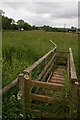
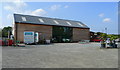
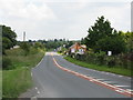
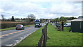
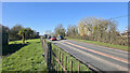
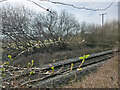
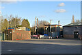
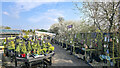
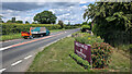

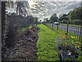
41 photos from this area
Area Information
Key information about the HR1 3NE including its size, population, and administrative classification.
- Area Type
- Postcode
- Area Size
- 44.7 hectares
- Population
- 2327
- Population Density
- 227 people/km²
House Prices in HR1 3NE
12
Properties
£300,833
Average Sold Price
£20,000
Lowest Price
£610,000
Highest Price
Showing 12 properties
| Address | Type | Beds | Baths | Last Sale Price | Last Sale Date | |
|---|---|---|---|---|---|---|
| The Lakes, A 4103 From Pomona Lane To Lumber Lane, Whitestone, HR1 3NE | Detached | 4 | 3 | £610,000 | Mar 2025 | |
| The White House, A 4103 From Pomona Lane To Lumber Lane, Whitestone, HR1 3NE | Detached | 3 | 1 | £600,000 | Apr 2024 | |
| Thistle Doo, A 4103 From Pomona Lane To Lumber Lane, Whitestone, HR1 3NE | house | - | - | £255,000 | Jul 2021 | |
| Mitoma, A 4103 From Pomona Lane To Lumber Lane, Whitestone, HR1 3NE | Detached | - | - | £120,000 | Oct 2002 | |
| Lottery House, A 4103 From Pomona Lane To Lumber Lane, Whitestone, HR1 3NE | house | - | - | £200,000 | Dec 1999 | |
| The Radway, Radway Road From A 465 To A 4103, Nunnington, HR1 3NE | Bungalow | 3 | 1 | £20,000 | Nov 1995 | |
| Harwood Court, Lumber Lane, Whitestone, HR1 3NE | Detached | 5 | 3 | - | - | |
| White House Cottage, A 4103 From Pomona Lane To Lumber Lane, Whitestone, HR1 3NE | Bungalow | 3 | 1 | - | - | |
| Caravan, The Lakes Cottage, Black Hole Lane, Bartestree, HR1 3NE | Mobile Home | - | - | - | - | |
| The Lakes Cottage, Black Hole Lane, Bartestree, HR1 3NE | house | - | - | - | - |
Page 1 of 2
Energy Efficiency in HR1 3NE
Amenities
Schools
| Rank | School | Type | Entry gender | Ages |
|---|
Explore more schools in this area
Go to Schools tabDemographics
Household Size
Two person
most common
Accommodation Type
Houses
most common
Tenure
83
majority
Ethnic Group
White
most common
Religion
N/A
most common
Household Composition
N/A
most common
Age
47
median
Adults (30-64 years)
most common
Household Deprivation
N/A
with no deprivation
NS-SEC
43
in Lower managerial occupations
Explore more demographic insights in this area
Go to Demographics tabPlanning
Planning Constraints
- Flood RiskPremium
- Ramsar Wetland SitesPremium
- Area of Outstanding Natural BeautyPremium
- Protected Nature ReservePremium
- Protected WoodlandPremium