Area Overview for HR1 2TB
Photos of HR1 2TB
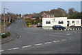
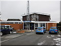
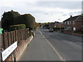
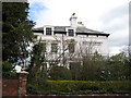
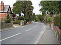
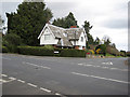
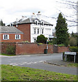
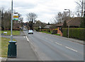
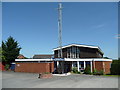
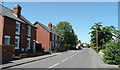
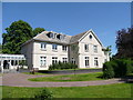
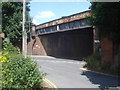
100 photos from this area
Area Information
Key information about the HR1 2TB including its size, population, and administrative classification.
- Area Type
- Postcode
- Area Size
- 1.2 hectares
- Population
- 1811
- Population Density
- 1781 people/km²
House Prices in HR1 2TB
41
Properties
£141,250
Average Sold Price
£43,000
Lowest Price
£465,000
Highest Price
Showing 41 properties
| Address | Type | Beds | Baths | Last Sale Price | Last Sale Date | |
|---|---|---|---|---|---|---|
| 108 Ledbury Road, Hereford, HR1 2TB | Flat | 4 | 2 | £147,500 | Jun 2021 | |
| 122 Ledbury Road, Hereford, HR1 2TB | Maisonette | 2 | 1 | £139,500 | May 2021 | |
| 106 Ledbury Road, Hereford, HR1 2TB | Terraced | - | - | £107,500 | Jul 2018 | |
| 130 Ledbury Road, Hereford, HR1 2TB | Flat | - | - | £130,000 | Apr 2018 | |
| 128 Ledbury Road, Hereford, HR1 2TB | Flat | - | - | £127,500 | Dec 2017 | |
| 102 Ledbury Road, Hereford, HR1 2TB | Detached | 4 | 2 | £465,000 | Nov 2017 | |
| 120 Ledbury Road, Hereford, HR1 2TB | Flat | - | - | £115,000 | Mar 2017 | |
| 116 Ledbury Road, Hereford, HR1 2TB | Flat | - | - | £130,000 | Feb 2016 | |
| 112 Ledbury Road, Hereford, HR1 2TB | Flat | - | - | £128,000 | Jun 2014 | |
| 96 Ledbury Road, Hereford, HR1 2TB | Detached | 4 | 1 | £242,500 | Jul 2007 |
Page 1 of 5
Energy Efficiency in HR1 2TB
Amenities
Schools
| Rank | School | Type | Entry gender | Ages |
|---|
Explore more schools in this area
Go to Schools tabDemographics
Household Size
One person
most common
Accommodation Type
Houses
most common
Tenure
65
majority
Ethnic Group
White
most common
Religion
N/A
most common
Household Composition
N/A
most common
Age
47
median
Adults (30-64 years)
most common
Household Deprivation
N/A
with no deprivation
NS-SEC
38
in Lower managerial occupations
Explore more demographic insights in this area
Go to Demographics tabPlanning
Planning Constraints
- Flood RiskPremium
- Ramsar Wetland SitesPremium
- Area of Outstanding Natural BeautyPremium
- Protected Nature ReservePremium
- Protected WoodlandPremium