Area Overview for HR1 2SE
Photos of HR1 2SE
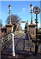

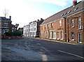
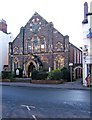
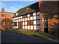

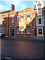
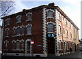
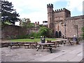
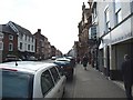
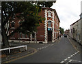
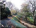
100 photos from this area
Area Information
Key information about the HR1 2SE including its size, population, and administrative classification.
- Area Type
- Postcode
- Area Size
- 1.5 hectares
- Population
- 1811
- Population Density
- 1781 people/km²
House Prices in HR1 2SE
46
Properties
£148,629
Average Sold Price
£51,000
Lowest Price
£275,000
Highest Price
Showing 46 properties
| Address | Type | Beds | Baths | Last Sale Price | Last Sale Date | |
|---|---|---|---|---|---|---|
| 58 Portfield Street, Hereford, HR1 2SE | Bungalow | 4 | 1 | £175,000 | Nov 2024 | |
| 60 Portfield Street, Hereford, HR1 2SE | Semi-detached | 2 | 1 | £275,000 | Sep 2024 | |
| 47 Portfield Street, Hereford, HR1 2SE | house | - | - | £230,000 | Mar 2023 | |
| 65 Portfield Street, Hereford, HR1 2SE | house | 2 | - | £210,000 | May 2022 | |
| 48 Portfield Street, Hereford, HR1 2SE | house | - | - | £170,000 | Feb 2020 | |
| 35 Portfield Street, Hereford, HR1 2SE | house | - | - | £250,000 | Aug 2019 | |
| 53 Portfield Street, Hereford, HR1 2SE | Terraced | 6 | 5 | £200,000 | Mar 2018 | |
| 59 Portfield Street, Hereford, HR1 2SE | Terraced | 2 | 1 | £150,000 | Dec 2015 | |
| 36 Portfield Street, Hereford, HR1 2SE | house | - | - | £144,000 | Nov 2015 | |
| 38 Portfield Street, Hereford, HR1 2SE | Terraced | 2 | 1 | £163,000 | Jul 2015 |
Page 1 of 5
Energy Efficiency in HR1 2SE
Amenities
Schools
| Rank | School | Type | Entry gender | Ages |
|---|
Explore more schools in this area
Go to Schools tabDemographics
Household Size
One person
most common
Accommodation Type
Houses
most common
Tenure
65
majority
Ethnic Group
White
most common
Religion
N/A
most common
Household Composition
N/A
most common
Age
47
median
Adults (30-64 years)
most common
Household Deprivation
N/A
with no deprivation
NS-SEC
38
in Lower managerial occupations
Explore more demographic insights in this area
Go to Demographics tabPlanning
Planning Constraints
- Flood RiskPremium
- Ramsar Wetland SitesPremium
- Area of Outstanding Natural BeautyPremium
- Protected Nature ReservePremium
- Protected WoodlandPremium