Area Overview for HR1 2JX
Photos of HR1 2JX
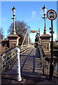

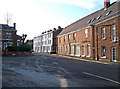
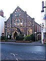
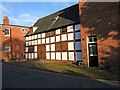

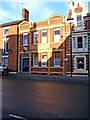
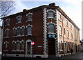
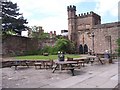
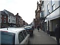
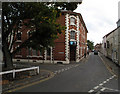
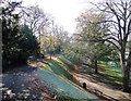
100 photos from this area
Area Information
Key information about the HR1 2JX including its size, population, and administrative classification.
- Area Type
- Postcode
- Area Size
- 1.8 hectares
- Population
- 1475
- Population Density
- 4393 people/km²
House Prices in HR1 2JX
75
Properties
£176,750
Average Sold Price
£58,000
Lowest Price
£325,000
Highest Price
Showing 75 properties
| Address | Type | Beds | Baths | Last Sale Price | Last Sale Date | |
|---|---|---|---|---|---|---|
| 2 Andrews Close, Hereford, HR1 2JX | Semi-detached | 3 | 2 | £325,000 | Feb 2025 | |
| 1 Andrews Close, Hereford, HR1 2JX | Retail | 3 | 1 | £223,000 | Mar 2022 | |
| 10 Andrews Close, Hereford, HR1 2JX | Terraced | 4 | 2 | £240,000 | Oct 2020 | |
| 15 Andrews Close, Hereford, HR1 2JX | house | - | - | £150,000 | Oct 2018 | |
| 7 Andrews Close, Hereford, HR1 2JX | house | - | - | £150,000 | Nov 2012 | |
| 12 Andrews Close, Hereford, HR1 2JX | house | - | - | £114,000 | Apr 2009 | |
| 16 Andrews Close, Hereford, HR1 2JX | Terraced | - | - | £154,000 | Nov 2006 | |
| 13 Andrews Close, Hereford, HR1 2JX | Terraced | - | - | £58,000 | Mar 1998 | |
| Room C36, Lionel Green House, Stonebow Road, Hereford, HR1 2JX | Flat | - | - | - | - | |
| Room C39, Lionel Green House, Stonebow Road, Hereford, HR1 2JX | Flat | - | - | - | - |
Page 1 of 8
Energy Efficiency in HR1 2JX
Amenities
Schools
| Rank | School | Type | Entry gender | Ages |
|---|
Explore more schools in this area
Go to Schools tabDemographics
Household Size
One person
most common
Accommodation Type
Houses
most common
Tenure
47
majority
Ethnic Group
White
most common
Religion
N/A
most common
Household Composition
N/A
most common
Age
47
median
Adults (30-64 years)
most common
Household Deprivation
N/A
with no deprivation
NS-SEC
30
in Lower managerial occupations
Explore more demographic insights in this area
Go to Demographics tabPlanning
Planning Constraints
- Flood RiskPremium
- Ramsar Wetland SitesPremium
- Area of Outstanding Natural BeautyPremium
- Protected Nature ReservePremium
- Protected WoodlandPremium