Area Overview for HR1 1LH
Photos of HR1 1LH
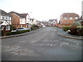
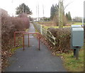
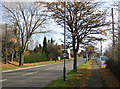
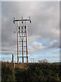
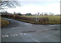
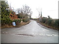
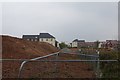

46 photos from this area
Area Information
Key information about the HR1 1LH including its size, population, and administrative classification.
- Area Type
- Postcode
- Area Size
- 42.2 hectares
- Population
- 1525
- Population Density
- 1256 people/km²
House Prices in HR1 1LH
68
Properties
£322,842
Average Sold Price
£66,500
Lowest Price
£820,000
Highest Price
Showing 68 properties
| Address | Type | Beds | Baths | Last Sale Price | Last Sale Date | |
|---|---|---|---|---|---|---|
| Turvey House, Coldwells Road, Holmer, HR1 1LH | Detached | 6 | 2 | £820,000 | Jul 2024 | |
| 3, Bank Cottages, Coldwells Road, Holmer, HR1 1LH | Detached | 3 | 2 | £150,000 | Dec 2023 | |
| Coldwells Cottage, Coldwells Road, Holmer, HR1 1LH | Detached | 4 | 2 | £367,500 | Mar 2021 | |
| Willow Cottage, Coldwells Road, Holmer, HR1 1LH | Cottage | 4 | - | £325,000 | Jul 2018 | |
| Bryher, Coldwells Road, Holmer, HR1 1LH | Detached | - | - | £300,000 | Jul 2018 | |
| Bryher, Coldwells Road, Holmer, HR1 1LH | Detached | - | - | £300,000 | Jul 2018 | |
| Meliden, Coldwells Road, Holmer, HR1 1LH | Bungalow | - | - | £280,000 | Feb 2018 | |
| Westlands, Church Way, Holmer, HR1 1LH | Semi-detached | - | - | £510,000 | Sep 2016 | |
| Marley House, Coldwells Road, Holmer, HR1 1LH | Detached | 4 | - | £400,000 | Dec 2014 | |
| Paphos, Coldwells Road, Holmer, HR1 1LH | Detached | 3 | - | £295,000 | Dec 2014 |
Page 1 of 7
Energy Efficiency in HR1 1LH
Amenities
Schools
| Rank | School | Type | Entry gender | Ages |
|---|
Explore more schools in this area
Go to Schools tabDemographics
Household Size
Family (3-5 people)
most common
Accommodation Type
Houses
most common
Tenure
76
majority
Ethnic Group
White
most common
Religion
N/A
most common
Household Composition
N/A
most common
Age
47
median
Adults (30-64 years)
most common
Household Deprivation
N/A
with no deprivation
NS-SEC
40
in Lower managerial occupations
Explore more demographic insights in this area
Go to Demographics tabPlanning
Planning Constraints
- Flood RiskPremium
- Ramsar Wetland SitesPremium
- Area of Outstanding Natural BeautyPremium
- Protected Nature ReservePremium
- Protected WoodlandPremium