Area Overview for DY9 9SW
Photos of DY9 9SW
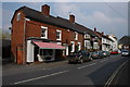
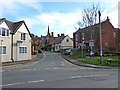
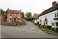
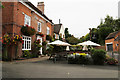
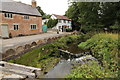
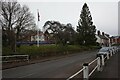
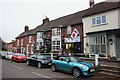

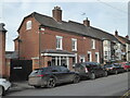
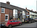
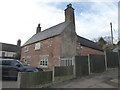
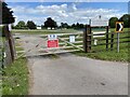
36 photos from this area
Area Information
Key information about the DY9 9SW including its size, population, and administrative classification.
- Area Type
- Postcode
- Area Size
- 1.0 hectares
- Population
- 1588
- Population Density
- 187 people/km²
House Prices in DY9 9SW
35
Properties
£271,153
Average Sold Price
£69,000
Lowest Price
£688,000
Highest Price
Showing 35 properties
| Address | Type | Beds | Baths | Last Sale Price | Last Sale Date | |
|---|---|---|---|---|---|---|
| 30 Nash Lane, Belbroughton, DY9 9SW | house | 4 | 2 | £528,000 | Sep 2025 | |
| 37 Nash Lane, Belbroughton, DY9 9SW | Semi-detached | 4 | 2 | £620,000 | Mar 2025 | |
| 33 Nash Lane, Belbroughton, DY9 9SW | Detached | 4 | 3 | £455,000 | Jan 2025 | |
| 38 Nash Lane, Belbroughton, DY9 9SW | Detached | 4 | 2 | £688,000 | Jan 2023 | |
| 54 Nash Lane, Belbroughton, DY9 9SW | Terraced | 3 | 1 | £325,000 | Oct 2022 | |
| 35 Nash Lane, Belbroughton, DY9 9SW | house | 3 | 2 | £485,000 | Aug 2022 | |
| 60 Nash Lane, Belbroughton, DY9 9SW | house | - | - | £224,750 | Oct 2019 | |
| 19 Nash Lane, Belbroughton, DY9 9SW | Terraced | - | - | £190,000 | Oct 2019 | |
| 58 Nash Lane, Belbroughton, DY9 9SW | house | - | - | £217,250 | Feb 2019 | |
| 66 Nash Lane, Belbroughton, DY9 9SW | Terraced | 2 | 1 | £214,000 | Nov 2018 |
Page 1 of 4
Energy Efficiency in DY9 9SW
Amenities
Schools
| Rank | School | Type | Entry gender | Ages |
|---|
Explore more schools in this area
Go to Schools tabDemographics
Household Size
Family (3-5 people)
most common
Accommodation Type
Houses
most common
Tenure
77
majority
Ethnic Group
White
most common
Religion
N/A
most common
Household Composition
N/A
most common
Age
47
median
Adults (30-64 years)
most common
Household Deprivation
N/A
with no deprivation
NS-SEC
47
in Lower managerial occupations
Explore more demographic insights in this area
Go to Demographics tabPlanning
Planning Constraints
- Flood RiskPremium
- Ramsar Wetland SitesPremium
- Area of Outstanding Natural BeautyPremium
- Protected Nature ReservePremium
- Protected WoodlandPremium