Area Overview for DY9 8SN
Photos of DY9 8SN

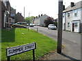
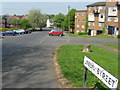
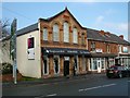
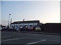
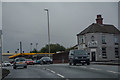
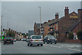
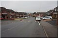
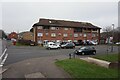
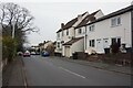
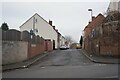
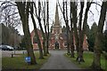
90 photos from this area
Area Information
Key information about the DY9 8SN including its size, population, and administrative classification.
- Area Type
- Postcode
- Area Size
- 1.3 hectares
- Population
- 1724
- Population Density
- 4373 people/km²
House Prices in DY9 8SN
44
Properties
£87,526
Average Sold Price
£27,000
Lowest Price
£150,000
Highest Price
Showing 44 properties
| Address | Type | Beds | Baths | Last Sale Price | Last Sale Date | |
|---|---|---|---|---|---|---|
| 79 Brook Street, Lye, DY9 8SN | Terraced | 3 | 2 | £100,000 | Nov 2025 | |
| 77 Brook Street, Lye, DY9 8SN | Terraced | 2 | 1 | £140,000 | Jul 2024 | |
| 87 Brook Street, Lye, DY9 8SN | Terraced | 2 | 1 | £125,000 | Jun 2024 | |
| 90 Brook Street, Lye, DY9 8SN | Retail | 3 | 1 | £150,000 | Jul 2022 | |
| 97 Brook Street, Lye, DY9 8SN | Terraced | 2 | 1 | £108,000 | May 2022 | |
| 88 Brook Street, Lye, DY9 8SN | Terraced | 2 | 1 | £66,000 | Jan 2020 | |
| 91 Brook Street, Lye, DY9 8SN | house | - | - | £135,000 | Oct 2019 | |
| 94 Brook Street, Lye, DY9 8SN | Terraced | 2 | 1 | £92,500 | Oct 2009 | |
| 93 Brook Street, Lye, DY9 8SN | Terraced | 2 | - | £96,000 | Aug 2008 | |
| 71 Brook Street, Lye, DY9 8SN | Detached | 2 | 1 | £81,500 | May 2006 |
Page 1 of 5
Energy Efficiency in DY9 8SN
Amenities
Schools
| Rank | School | Type | Entry gender | Ages |
|---|
Explore more schools in this area
Go to Schools tabDemographics
Household Size
Family (3-5 people)
most common
Accommodation Type
Houses
most common
Tenure
69
majority
Ethnic Group
White
most common
Religion
N/A
most common
Household Composition
N/A
most common
Age
47
median
Adults (30-64 years)
most common
Household Deprivation
N/A
with no deprivation
NS-SEC
23
in Lower managerial occupations
Explore more demographic insights in this area
Go to Demographics tabPlanning
Planning Constraints
- Flood RiskPremium
- Ramsar Wetland SitesPremium
- Area of Outstanding Natural BeautyPremium
- Protected Nature ReservePremium
- Protected WoodlandPremium