Area Overview for DY9 8AD
Photos of DY9 8AD
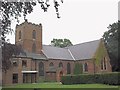
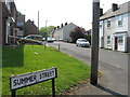
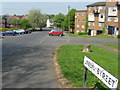
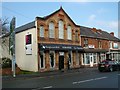
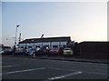
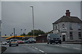
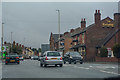
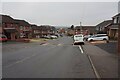
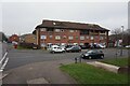
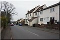
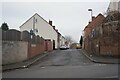
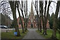
90 photos from this area
Area Information
Key information about the DY9 8AD including its size, population, and administrative classification.
- Area Type
- Postcode
- Area Size
- 3446 m²
- Population
- 1602
- Population Density
- 5338 people/km²
House Prices in DY9 8AD
21
Properties
£99,833
Average Sold Price
£65,500
Lowest Price
£165,000
Highest Price
Showing 21 properties
| Address | Type | Beds | Baths | Last Sale Price | Last Sale Date | |
|---|---|---|---|---|---|---|
| 101 Cemetery Road, Lye, DY9 8AD | house | - | - | £165,000 | Jan 2022 | |
| 99 Cemetery Road, Lye, DY9 8AD | Terraced | 2 | 1 | £107,000 | Jun 2021 | |
| 77A Cemetery Road, Lye, DY9 8AD | Flat | - | - | £110,000 | Jan 2021 | |
| 83 Cemetery Road, Lye, DY9 8AD | Terraced | 3 | 1 | £105,000 | Jun 2020 | |
| 87 Cemetery Road, Lye, DY9 8AD | house | - | - | £80,000 | Jan 2018 | |
| 97 Cemetery Road, Lye, DY9 8AD | house | - | - | £65,500 | Nov 2017 | |
| 81 Cemetery Road, Lye, DY9 8AD | Terraced | 3 | 1 | £93,000 | Apr 2017 | |
| 85 Cemetery Road, Lye, DY9 8AD | Terraced | 2 | 2 | £68,000 | Oct 2013 | |
| 95 Cemetery Road, Lye, DY9 8AD | house | - | - | £105,000 | Jul 2007 | |
| 93 Cemetery Road, Lye, DY9 8AD | Terraced | - | - | - | - |
Page 1 of 3
Energy Efficiency in DY9 8AD
Amenities
Schools
| Rank | School | Type | Entry gender | Ages |
|---|
Explore more schools in this area
Go to Schools tabDemographics
Household Size
One person
most common
Accommodation Type
Houses
most common
Tenure
59
majority
Ethnic Group
White
most common
Religion
N/A
most common
Household Composition
N/A
most common
Age
47
median
Adults (30-64 years)
most common
Household Deprivation
N/A
with no deprivation
NS-SEC
24
in Lower managerial occupations
Explore more demographic insights in this area
Go to Demographics tabPlanning
Planning Constraints
- Flood RiskPremium
- Ramsar Wetland SitesPremium
- Area of Outstanding Natural BeautyPremium
- Protected Nature ReservePremium
- Protected WoodlandPremium