Area Overview for DY9 7PS
Photos of DY9 7PS
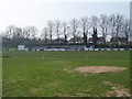
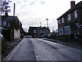
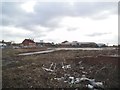
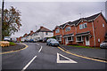
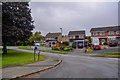
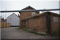
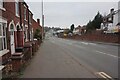
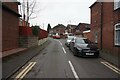
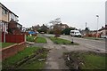
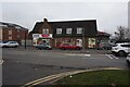
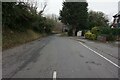
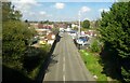
48 photos from this area
Area Information
Key information about the DY9 7PS including its size, population, and administrative classification.
- Area Type
- Postcode
- Area Size
- 1.4 hectares
- Population
- 1655
- Population Density
- 4424 people/km²
House Prices in DY9 7PS
35
Properties
£135,862
Average Sold Price
£35,000
Lowest Price
£350,000
Highest Price
Showing 35 properties
| Address | Type | Beds | Baths | Last Sale Price | Last Sale Date | |
|---|---|---|---|---|---|---|
| 10 Hungary Hill, Stourbridge, DY9 7PS | Detached | 3 | 2 | £310,000 | Oct 2025 | |
| 31 Hungary Hill, Stourbridge, DY9 7PS | Semi-detached | 3 | 1 | £170,000 | Apr 2025 | |
| 20 Hungary Hill, Stourbridge, DY9 7PS | Detached | 3 | 1 | £330,000 | Jul 2024 | |
| 1 Hungary Hill, Stourbridge, DY9 7PS | Semi-detached | 3 | 1 | £120,000 | Feb 2024 | |
| 14 Hungary Hill, Stourbridge, DY9 7PS | Detached | 4 | 2 | £350,000 | Apr 2023 | |
| 29 Hungary Hill, Stourbridge, DY9 7PS | Semi-detached | 3 | 2 | £145,000 | Jan 2023 | |
| 3 Hungary Hill, Stourbridge, DY9 7PS | Semi-detached | 3 | 1 | £93,000 | Feb 2017 | |
| 7 Hungary Hill, Stourbridge, DY9 7PS | Semi-detached | 3 | 1 | £116,500 | Sep 2015 | |
| 12 Hungary Hill, Stourbridge, DY9 7PS | Semi-detached | 3 | - | £130,000 | Jul 2014 | |
| 4 Hungary Hill, Stourbridge, DY9 7PS | Bungalow | 4 | - | £196,000 | May 2014 |
Page 1 of 4
Energy Efficiency in DY9 7PS
Amenities
Schools
| Rank | School | Type | Entry gender | Ages |
|---|
Explore more schools in this area
Go to Schools tabDemographics
Household Size
One person
most common
Accommodation Type
Houses
most common
Tenure
57
majority
Ethnic Group
White
most common
Religion
N/A
most common
Household Composition
N/A
most common
Age
47
median
Adults (30-64 years)
most common
Household Deprivation
N/A
with no deprivation
NS-SEC
21
in Lower managerial occupations
Explore more demographic insights in this area
Go to Demographics tabPlanning
Planning Constraints
- Flood RiskPremium
- Ramsar Wetland SitesPremium
- Area of Outstanding Natural BeautyPremium
- Protected Nature ReservePremium
- Protected WoodlandPremium