Area Overview for DY9 7JJ
Photos of DY9 7JJ


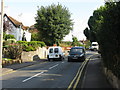
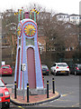
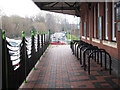
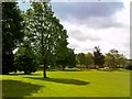
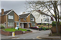
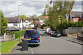
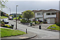
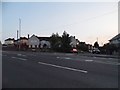

46 photos from this area
Area Information
Key information about the DY9 7JJ including its size, population, and administrative classification.
- Area Type
- Postcode
- Area Size
- 1.4 hectares
- Population
- 1503
- Population Density
- 2922 people/km²
House Prices in DY9 7JJ
17
Properties
£280,964
Average Sold Price
£103,000
Lowest Price
£600,000
Highest Price
Showing 17 properties
| Address | Type | Beds | Baths | Last Sale Price | Last Sale Date | |
|---|---|---|---|---|---|---|
| 12 Wollescote Road, Stourbridge, DY9 7JJ | Detached | 4 | 2 | £600,000 | Aug 2024 | |
| 42 Wollescote Road, Stourbridge, DY9 7JJ | Semi-detached | 3 | 1 | £315,000 | Aug 2023 | |
| 20 Wollescote Road, Stourbridge, DY9 7JJ | house | - | - | £460,000 | Sep 2021 | |
| 30 Wollescote Road, Stourbridge, DY9 7JJ | Bungalow | - | - | £310,000 | Jan 2020 | |
| 36 Wollescote Road, Stourbridge, DY9 7JJ | Bungalow | - | - | £287,500 | Apr 2019 | |
| 32 Wollescote Road, Stourbridge, DY9 7JJ | Bungalow | - | - | £330,000 | Oct 2018 | |
| 34 Wollescote Road, Stourbridge, DY9 7JJ | house | - | - | £348,500 | Jun 2017 | |
| 28 Wollescote Road, Stourbridge, DY9 7JJ | Bungalow | 2 | - | £233,000 | Nov 2014 | |
| 44 Wollescote Road, Stourbridge, DY9 7JJ | Bungalow | - | - | £183,000 | May 2014 | |
| 40 Wollescote Road, Stourbridge, DY9 7JJ | Semi-detached | 2 | - | £174,000 | Aug 2013 |
Page 1 of 2
Energy Efficiency in DY9 7JJ
Amenities
Schools
| Rank | School | Type | Entry gender | Ages |
|---|
Explore more schools in this area
Go to Schools tabDemographics
Household Size
Two person
most common
Accommodation Type
Houses
most common
Tenure
94
majority
Ethnic Group
White
most common
Religion
N/A
most common
Household Composition
N/A
most common
Age
47
median
Adults (30-64 years)
most common
Household Deprivation
N/A
with no deprivation
NS-SEC
38
in Lower managerial occupations
Explore more demographic insights in this area
Go to Demographics tabPlanning
Planning Constraints
- Flood RiskPremium
- Ramsar Wetland SitesPremium
- Area of Outstanding Natural BeautyPremium
- Protected Nature ReservePremium
- Protected WoodlandPremium