Area Overview for DY9 0XJ
Photos of DY9 0XJ
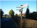
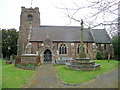
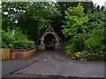
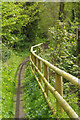
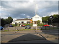
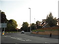
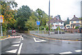
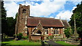
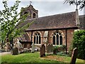
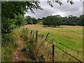
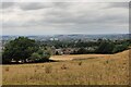
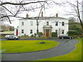
27 photos from this area
Area Information
Key information about the DY9 0XJ including its size, population, and administrative classification.
- Area Type
- Postcode
- Area Size
- 8034 m²
- Population
- 1374
- Population Density
- 1704 people/km²
House Prices in DY9 0XJ
18
Properties
£187,114
Average Sold Price
£76,000
Lowest Price
£295,000
Highest Price
Showing 18 properties
| Address | Type | Beds | Baths | Last Sale Price | Last Sale Date | |
|---|---|---|---|---|---|---|
| 14 The Riddings, Pedmore, DY9 0XJ | house | - | - | £295,000 | May 2024 | |
| 13 The Riddings, Pedmore, DY9 0XJ | house | 3 | 1 | £295,000 | Aug 2018 | |
| 11 The Riddings, Pedmore, DY9 0XJ | Semi-detached | 3 | - | £242,000 | Jun 2016 | |
| 17 The Riddings, Pedmore, DY9 0XJ | Semi-detached | 3 | - | £195,000 | Dec 2014 | |
| 1 The Riddings, Pedmore, DY9 0XJ | Semi-detached | - | - | £234,000 | Oct 2007 | |
| 3 The Riddings, Pedmore, DY9 0XJ | Semi-detached | - | - | £174,000 | Apr 2004 | |
| 15 The Riddings, Pedmore, DY9 0XJ | Semi-detached | - | - | £181,140 | Apr 2004 | |
| 7 The Riddings, Pedmore, DY9 0XJ | Semi-detached | - | - | £96,000 | Dec 2000 | |
| 5 The Riddings, Pedmore, DY9 0XJ | Semi-detached | - | - | £76,000 | Feb 1999 | |
| 18 The Riddings, Pedmore, DY9 0XJ | Semi-detached | - | - | £83,000 | Sep 1998 |
Page 1 of 2
Energy Efficiency in DY9 0XJ
Amenities
Schools
| Rank | School | Type | Entry gender | Ages |
|---|
Explore more schools in this area
Go to Schools tabDemographics
Household Size
Two person
most common
Accommodation Type
Houses
most common
Tenure
92
majority
Ethnic Group
White
most common
Religion
N/A
most common
Household Composition
N/A
most common
Age
47
median
Adults (30-64 years)
most common
Household Deprivation
N/A
with no deprivation
NS-SEC
41
in Lower managerial occupations
Explore more demographic insights in this area
Go to Demographics tabPlanning
Planning Constraints
- Flood RiskPremium
- Ramsar Wetland SitesPremium
- Area of Outstanding Natural BeautyPremium
- Protected Nature ReservePremium
- Protected WoodlandPremium