Area Overview for DY9 0SJ
Photos of DY9 0SJ
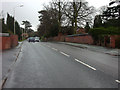
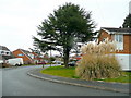
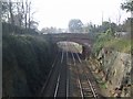
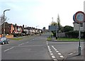
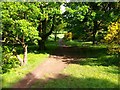
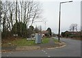
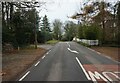
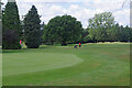
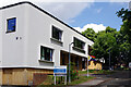
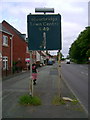
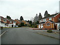
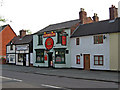
35 photos from this area
Area Information
Key information about the DY9 0SJ including its size, population, and administrative classification.
- Area Type
- Postcode
- Area Size
- 3.2 hectares
- Population
- 1653
- Population Density
- 1435 people/km²
House Prices in DY9 0SJ
16
Properties
£713,888
Average Sold Price
£230,000
Lowest Price
£1,150,000
Highest Price
Showing 16 properties
| Address | Type | Beds | Baths | Last Sale Price | Last Sale Date | |
|---|---|---|---|---|---|---|
| 105 Worcester Lane, Stourbridge, DY9 0SJ | house | - | - | £1,150,000 | Jul 2024 | |
| 115 Worcester Lane, Stourbridge, DY9 0SJ | house | - | - | £860,000 | Aug 2023 | |
| 123 Worcester Lane, Stourbridge, DY9 0SJ | house | - | - | £1,050,000 | May 2022 | |
| 109 Worcester Lane, Stourbridge, DY9 0SJ | Detached | 4 | 2 | £728,050 | Feb 2021 | |
| 125 Worcester Lane, Stourbridge, DY9 0SJ | Bungalow | - | - | £675,000 | Sep 2019 | |
| 127 Worcester Lane, Stourbridge, DY9 0SJ | house | - | - | £725,000 | Mar 2019 | |
| 101 Worcester Lane, Stourbridge, DY9 0SJ | house | - | - | £655,000 | Sep 2018 | |
| 103 Worcester Lane, Stourbridge, DY9 0SJ | house | - | - | £690,000 | Jun 2018 | |
| 131 Worcester Lane, Stourbridge, DY9 0SJ | house | - | - | £552,500 | Jan 2016 | |
| 111 Worcester Lane, Stourbridge, DY9 0SJ | Bungalow | - | - | £675,000 | Jul 2013 |
Page 1 of 2
Energy Efficiency in DY9 0SJ
Amenities
Schools
| Rank | School | Type | Entry gender | Ages |
|---|
Explore more schools in this area
Go to Schools tabDemographics
Household Size
Two person
most common
Accommodation Type
Houses
most common
Tenure
95
majority
Ethnic Group
White
most common
Religion
N/A
most common
Household Composition
N/A
most common
Age
47
median
Adults (30-64 years)
most common
Household Deprivation
N/A
with no deprivation
NS-SEC
50
in Lower managerial occupations
Explore more demographic insights in this area
Go to Demographics tabPlanning
Planning Constraints
- Flood RiskPremium
- Ramsar Wetland SitesPremium
- Area of Outstanding Natural BeautyPremium
- Protected Nature ReservePremium
- Protected WoodlandPremium