Area Overview for DY9 0SD
Photos of DY9 0SD
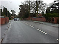
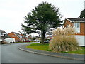

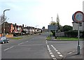
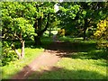
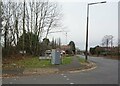
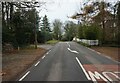

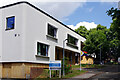
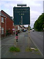
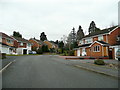
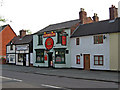
35 photos from this area
Area Information
Key information about the DY9 0SD including its size, population, and administrative classification.
- Area Type
- Postcode
- Area Size
- 9858 m²
- Population
- 1653
- Population Density
- 1435 people/km²
House Prices in DY9 0SD
25
Properties
£266,469
Average Sold Price
£75,000
Lowest Price
£440,000
Highest Price
Showing 25 properties
| Address | Type | Beds | Baths | Last Sale Price | Last Sale Date | |
|---|---|---|---|---|---|---|
| 38 Portland Drive, Pedmore, DY9 0SD | Semi-detached | 4 | 2 | £440,000 | Aug 2025 | |
| 30 Portland Drive, Pedmore, DY9 0SD | house | - | - | £325,000 | Aug 2021 | |
| 14 Portland Drive, Pedmore, DY9 0SD | house | - | - | £250,000 | May 2021 | |
| 44 Portland Drive, Pedmore, DY9 0SD | Semi-detached | 3 | 1 | £310,000 | Nov 2020 | |
| 20 Portland Drive, Pedmore, DY9 0SD | house | - | - | £305,000 | Aug 2020 | |
| 6 Portland Drive, Pedmore, DY9 0SD | house | - | - | £332,500 | Jan 2020 | |
| 42 Portland Drive, Pedmore, DY9 0SD | house | - | - | £285,000 | Oct 2019 | |
| 24 Portland Drive, Pedmore, DY9 0SD | house | - | - | £230,000 | Jun 2018 | |
| 18 Portland Drive, Pedmore, DY9 0SD | house | - | - | £190,000 | Mar 2018 | |
| 16 Portland Drive, Pedmore, DY9 0SD | house | - | - | £255,000 | Mar 2018 |
Page 1 of 3
Energy Efficiency in DY9 0SD
Amenities
Schools
| Rank | School | Type | Entry gender | Ages |
|---|
Explore more schools in this area
Go to Schools tabDemographics
Household Size
Two person
most common
Accommodation Type
Houses
most common
Tenure
95
majority
Ethnic Group
White
most common
Religion
N/A
most common
Household Composition
N/A
most common
Age
47
median
Adults (30-64 years)
most common
Household Deprivation
N/A
with no deprivation
NS-SEC
50
in Lower managerial occupations
Explore more demographic insights in this area
Go to Demographics tabPlanning
Planning Constraints
- Flood RiskPremium
- Ramsar Wetland SitesPremium
- Area of Outstanding Natural BeautyPremium
- Protected Nature ReservePremium
- Protected WoodlandPremium