Area Overview for DY9 0QQ
Photos of DY9 0QQ

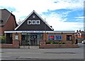
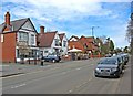
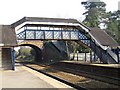
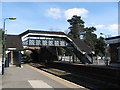
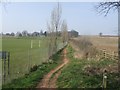
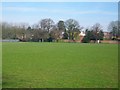
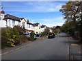
68 photos from this area
Area Information
Key information about the DY9 0QQ including its size, population, and administrative classification.
- Area Type
- Postcode
- Area Size
- 2.4 hectares
- Population
- 1520
- Population Density
- 285 people/km²
House Prices in DY9 0QQ
17
Properties
£355,622
Average Sold Price
£155,000
Lowest Price
£670,000
Highest Price
Showing 17 properties
| Address | Type | Beds | Baths | Last Sale Price | Last Sale Date | |
|---|---|---|---|---|---|---|
| 75 Park Road, Hagley, DY9 0QQ | Detached | 5 | 1 | £652,000 | Sep 2018 | |
| 77A Park Road, Hagley, DY9 0QQ | Bungalow | 3 | 1 | £365,000 | Mar 2018 | |
| 73 Park Road, Hagley, DY9 0QQ | house | - | - | £570,000 | Oct 2016 | |
| 65 Park Road, Hagley, DY9 0QQ | Bungalow | - | - | £400,000 | May 2015 | |
| 77 Park Road, Hagley, DY9 0QQ | Bungalow | 3 | - | £360,000 | Dec 2012 | |
| 49 Park Road, Hagley, DY9 0QQ | house | - | - | £279,950 | Aug 2012 | |
| 55 Park Road, Hagley, DY9 0QQ | house | - | - | £670,000 | Nov 2010 | |
| 71 Park Road, Hagley, DY9 0QQ | Detached | - | - | £432,500 | Jan 2007 | |
| 47 Park Road, Hagley, DY9 0QQ | Bungalow | 3 | 2 | £325,000 | Apr 2006 | |
| 53 Park Road, Hagley, DY9 0QQ | Detached | - | - | £471,500 | Oct 2004 |
Page 1 of 2
Energy Efficiency in DY9 0QQ
Amenities
Schools
| Rank | School | Type | Entry gender | Ages |
|---|
Explore more schools in this area
Go to Schools tabDemographics
Household Size
Family (3-5 people)
most common
Accommodation Type
Houses
most common
Tenure
86
majority
Ethnic Group
White
most common
Religion
N/A
most common
Household Composition
N/A
most common
Age
47
median
Adults (30-64 years)
most common
Household Deprivation
N/A
with no deprivation
NS-SEC
49
in Lower managerial occupations
Explore more demographic insights in this area
Go to Demographics tabPlanning
Planning Constraints
- Flood RiskPremium
- Ramsar Wetland SitesPremium
- Area of Outstanding Natural BeautyPremium
- Protected Nature ReservePremium
- Protected WoodlandPremium