Area Overview for DY9 0NU
Photos of DY9 0NU
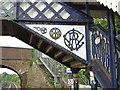
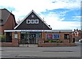
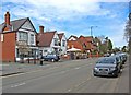
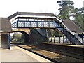
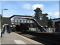
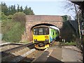
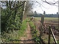
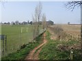
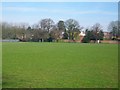
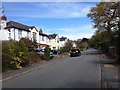
68 photos from this area
Area Information
Key information about the DY9 0NU including its size, population, and administrative classification.
- Area Type
- Postcode
- Area Size
- 1.9 hectares
- Population
- 2359
- Population Density
- 1710 people/km²
House Prices in DY9 0NU
46
Properties
£346,973
Average Sold Price
£55,000
Lowest Price
£715,000
Highest Price
Showing 46 properties
| Address | Type | Beds | Baths | Last Sale Price | Last Sale Date | |
|---|---|---|---|---|---|---|
| 26 Station Road, Hagley, DY9 0NU | Detached | 4 | 1 | £715,000 | Jan 2024 | |
| 48 Station Road, Hagley, DY9 0NU | Semi-detached | 3 | 1 | £300,000 | Apr 2023 | |
| 36 Station Road, Hagley, DY9 0NU | Semi-detached | 3 | 1 | £410,000 | Aug 2022 | |
| 44 Station Road, Hagley, DY9 0NU | house | - | - | £350,000 | Sep 2021 | |
| 30 Station Road, Hagley, DY9 0NU | house | 4 | 4 | £470,000 | Nov 2020 | |
| The Coach House, 30A Station Road, Hagley, DY9 0NU | Semi-detached | 5 | - | £630,000 | Nov 2020 | |
| 6 Station Road, Hagley, DY9 0NU | house | - | - | £545,000 | Jul 2020 | |
| 17 Station Road, Hagley, DY9 0NU | Detached | 4 | 2 | £585,000 | Dec 2016 | |
| 9 Station Road, Hagley, DY9 0NU | Detached | 5 | 6 | £390,000 | Jul 2016 | |
| 11 Station Road, Hagley, DY9 0NU | house | 4 | - | £464,000 | Oct 2014 |
Page 1 of 5
Energy Efficiency in DY9 0NU
Amenities
Schools
| Rank | School | Type | Entry gender | Ages |
|---|
Explore more schools in this area
Go to Schools tabDemographics
Household Size
Family (3-5 people)
most common
Accommodation Type
Houses
most common
Tenure
86
majority
Ethnic Group
White
most common
Religion
N/A
most common
Household Composition
N/A
most common
Age
47
median
Adults (30-64 years)
most common
Household Deprivation
N/A
with no deprivation
NS-SEC
53
in Lower managerial occupations
Explore more demographic insights in this area
Go to Demographics tabPlanning
Planning Constraints
- Flood RiskPremium
- Ramsar Wetland SitesPremium
- Area of Outstanding Natural BeautyPremium
- Protected Nature ReservePremium
- Protected WoodlandPremium