Area Overview for DY9 0LU
Photos of DY9 0LU
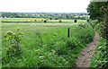
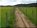
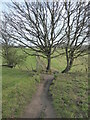
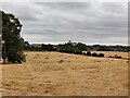
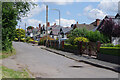
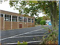
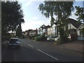
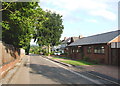
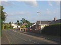
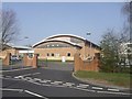
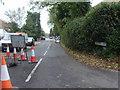
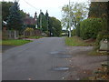
17 photos from this area
Area Information
Key information about the DY9 0LU including its size, population, and administrative classification.
- Area Type
- Postcode
- Area Size
- 1.6 hectares
- Population
- 1806
- Population Density
- 1714 people/km²
House Prices in DY9 0LU
47
Properties
£253,751
Average Sold Price
£69,950
Lowest Price
£390,000
Highest Price
Showing 47 properties
| Address | Type | Beds | Baths | Last Sale Price | Last Sale Date | |
|---|---|---|---|---|---|---|
| 37 Willow Close, Hagley, DY9 0LU | house | 3 | 1 | £370,000 | Jul 2025 | |
| 29 Willow Close, Hagley, DY9 0LU | house | - | - | £370,000 | Jun 2025 | |
| 1 Willow Close, Hagley, DY9 0LU | Semi-detached | 2 | 2 | £285,000 | Feb 2025 | |
| 10 Willow Close, Hagley, DY9 0LU | house | - | - | £335,000 | Oct 2024 | |
| 43 Willow Close, Hagley, DY9 0LU | house | - | - | £300,125 | Mar 2023 | |
| 51 Willow Close, Hagley, DY9 0LU | house | - | - | £305,000 | Sep 2022 | |
| 42 Willow Close, Hagley, DY9 0LU | house | 3 | - | £315,000 | Jul 2022 | |
| 8 Willow Close, Hagley, DY9 0LU | house | - | - | £390,000 | Sep 2021 | |
| 44 Willow Close, Hagley, DY9 0LU | house | - | - | £275,000 | Aug 2021 | |
| 12 Willow Close, Hagley, DY9 0LU | house | - | - | £350,000 | Jun 2021 |
Page 1 of 5
Energy Efficiency in DY9 0LU
Amenities
Schools
| Rank | School | Type | Entry gender | Ages |
|---|
Explore more schools in this area
Go to Schools tabDemographics
Household Size
Family (3-5 people)
most common
Accommodation Type
Houses
most common
Tenure
83
majority
Ethnic Group
White
most common
Religion
N/A
most common
Household Composition
N/A
most common
Age
47
median
Adults (30-64 years)
most common
Household Deprivation
N/A
with no deprivation
NS-SEC
52
in Lower managerial occupations
Explore more demographic insights in this area
Go to Demographics tabPlanning
Planning Constraints
- Flood RiskPremium
- Ramsar Wetland SitesPremium
- Area of Outstanding Natural BeautyPremium
- Protected Nature ReservePremium
- Protected WoodlandPremium