Area Overview for DY9 0HS
Photos of DY9 0HS
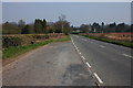
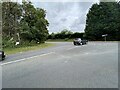
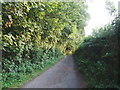
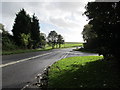
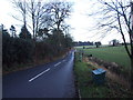
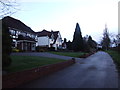
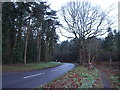
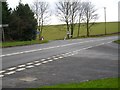
17 photos from this area
Area Information
Key information about the DY9 0HS including its size, population, and administrative classification.
- Area Type
- Postcode
- Area Size
- 13.9 hectares
- Population
- 1505
- Population Density
- 194 people/km²
House Prices in DY9 0HS
7
Properties
£1,086,500
Average Sold Price
£712,500
Lowest Price
£2,015,000
Highest Price
Showing 7 properties
| Address | Type | Beds | Baths | Last Sale Price | Last Sale Date | |
|---|---|---|---|---|---|---|
| Dove Leys, Worcester Road, Clent, DY9 0HS | Detached | 4 | 2 | £1,090,000 | Oct 2023 | |
| The Woodlands, Worcester Road, Clent, DY9 0HS | house | - | - | £2,015,000 | Aug 2019 | |
| Keewaydin, Worcester Road, Clent, DY9 0HS | Detached | 4 | - | £890,000 | Feb 2017 | |
| The Croft, Worcester Road, Clent, DY9 0HS | Detached | 5 | 3 | £712,500 | Oct 2013 | |
| Broome Grove, Worcester Road, Clent, DY9 0HS | Detached | - | - | £725,000 | Oct 2006 | |
| Flat, The Woodlands, Worcester Road, Clent, DY9 0HS | Flat | - | - | - | - | |
| Low Cottage, Worcester Road, Clent, DY9 0HS | Bungalow | - | - | - | - |
Energy Efficiency in DY9 0HS
Amenities
Schools
| Rank | School | Type | Entry gender | Ages |
|---|
Explore more schools in this area
Go to Schools tabDemographics
Household Size
Family (3-5 people)
most common
Accommodation Type
Houses
most common
Tenure
85
majority
Ethnic Group
White
most common
Religion
N/A
most common
Household Composition
N/A
most common
Age
47
median
Adults (30-64 years)
most common
Household Deprivation
N/A
with no deprivation
NS-SEC
52
in Lower managerial occupations
Explore more demographic insights in this area
Go to Demographics tabPlanning
Planning Constraints
- Flood RiskPremium
- Ramsar Wetland SitesPremium
- Area of Outstanding Natural BeautyPremium
- Protected Nature ReservePremium
- Protected WoodlandPremium