Area Overview for DY9 0BY
Photos of DY9 0BY
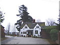
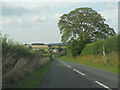
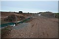
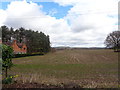
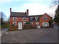
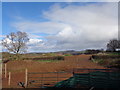
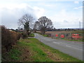
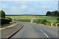
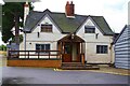
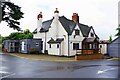
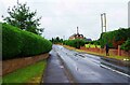

20 photos from this area
Area Information
Key information about the DY9 0BY including its size, population, and administrative classification.
- Area Type
- Postcode
- Area Size
- 6.5 hectares
- Population
- 1556
- Population Density
- 59 people/km²
House Prices in DY9 0BY
10
Properties
£897,000
Average Sold Price
£670,000
Lowest Price
£1,750,000
Highest Price
Showing 10 properties
| Address | Type | Beds | Baths | Last Sale Price | Last Sale Date | |
|---|---|---|---|---|---|---|
| The Tractor Shed, 10 Drayton Grove, Drayton, Belbroughton, DY9 0BY | house | - | - | £765,000 | Mar 2022 | |
| L Isle House, 6 Drayton Grove, Drayton, Belbroughton, DY9 0BY | house | - | - | £780,000 | Mar 2019 | |
| Warwick House, 9 Drayton Grove, Drayton, Belbroughton, DY9 0BY | house | - | - | £1,100,000 | Mar 2019 | |
| Beauchamp House, 8 Drayton Grove, Drayton, Belbroughton, DY9 0BY | house | - | - | £950,000 | Oct 2017 | |
| Corbet House, 2 Drayton Grove, Drayton, Belbroughton, DY9 0BY | Detached | 5 | 3 | £725,000 | Apr 2015 | |
| Despencer House, 7 Drayton Grove, Drayton, Belbroughton, DY9 0BY | house | 5 | - | £760,000 | Jun 2011 | |
| Pakington House, 5 Drayton Grove, Drayton, Belbroughton, DY9 0BY | Detached | - | - | £1,750,000 | Feb 2007 | |
| Yate House, 1 Drayton Grove, Drayton, Belbroughton, DY9 0BY | Detached | - | - | £670,000 | Nov 2006 | |
| Clare House, 4 Drayton Grove, Drayton, Belbroughton, DY9 0BY | Detached | 5 | 4 | £700,000 | Jun 2006 | |
| Gloucester House, 3 Drayton Grove, Drayton, Belbroughton, DY9 0BY | Detached | - | - | £770,000 | Apr 2004 |
Energy Efficiency in DY9 0BY
Amenities
Schools
| Rank | School | Type | Entry gender | Ages |
|---|
Explore more schools in this area
Go to Schools tabDemographics
Household Size
Two person
most common
Accommodation Type
Houses
most common
Tenure
74
majority
Ethnic Group
White
most common
Religion
N/A
most common
Household Composition
N/A
most common
Age
47
median
Adults (30-64 years)
most common
Household Deprivation
N/A
with no deprivation
NS-SEC
42
in Lower managerial occupations
Explore more demographic insights in this area
Go to Demographics tabPlanning
Planning Constraints
- Flood RiskPremium
- Ramsar Wetland SitesPremium
- Area of Outstanding Natural BeautyPremium
- Protected Nature ReservePremium
- Protected WoodlandPremium