Area Overview for DY8 4RZ
Photos of DY8 4RZ
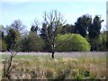
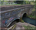
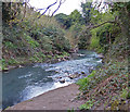
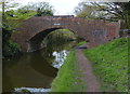
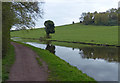
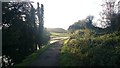
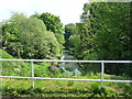
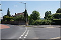
100 photos from this area
Area Information
Key information about the DY8 4RZ including its size, population, and administrative classification.
- Area Type
- Postcode
- Area Size
- 2.4 hectares
- Population
- 1547
- Population Density
- 4894 people/km²
House Prices in DY8 4RZ
47
Properties
£222,057
Average Sold Price
£72,500
Lowest Price
£365,000
Highest Price
Showing 47 properties
| Address | Type | Beds | Baths | Last Sale Price | Last Sale Date | |
|---|---|---|---|---|---|---|
| 53 Wentworth Road, Wollaston, DY8 4RZ | Detached | 2 | 1 | £313,000 | Feb 2025 | |
| 67 Wentworth Road, Wollaston, DY8 4RZ | Detached | 3 | 2 | £342,000 | Apr 2024 | |
| 66 Wentworth Road, Wollaston, DY8 4RZ | house | - | - | £335,000 | Jun 2021 | |
| 63 Wentworth Road, Wollaston, DY8 4RZ | house | 5 | - | £365,000 | Jun 2021 | |
| 52 Wentworth Road, Wollaston, DY8 4RZ | Detached | 3 | - | £270,000 | Jan 2020 | |
| 55 Wentworth Road, Wollaston, DY8 4RZ | house | - | - | £280,000 | Dec 2019 | |
| 80 Wentworth Road, Wollaston, DY8 4RZ | Detached | 3 | 1 | £325,000 | Aug 2019 | |
| 76 Wentworth Road, Wollaston, DY8 4RZ | house | - | - | £290,000 | Oct 2018 | |
| 75 Wentworth Road, Wollaston, DY8 4RZ | Detached | 3 | 1 | £237,500 | Sep 2018 | |
| 84 Wentworth Road, Wollaston, DY8 4RZ | Bungalow | - | - | £275,000 | May 2018 |
Page 1 of 5
Energy Efficiency in DY8 4RZ
Amenities
Schools
| Rank | School | Type | Entry gender | Ages |
|---|
Explore more schools in this area
Go to Schools tabDemographics
Household Size
One person
most common
Accommodation Type
Houses
most common
Tenure
51
majority
Ethnic Group
White
most common
Religion
N/A
most common
Household Composition
N/A
most common
Age
47
median
Adults (30-64 years)
most common
Household Deprivation
N/A
with no deprivation
NS-SEC
24
in Lower managerial occupations
Explore more demographic insights in this area
Go to Demographics tabPlanning
Planning Constraints
- Flood RiskPremium
- Ramsar Wetland SitesPremium
- Area of Outstanding Natural BeautyPremium
- Protected Nature ReservePremium
- Protected WoodlandPremium