Area Overview for DY8 4NZ
Photos of DY8 4NZ
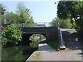
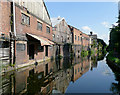
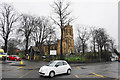
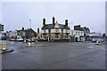
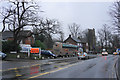
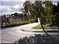
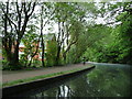
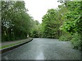
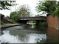
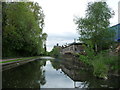
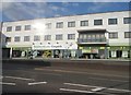
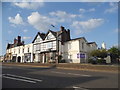
100 photos from this area
Area Information
Key information about the DY8 4NZ including its size, population, and administrative classification.
- Area Type
- Postcode
- Area Size
- 4192 m²
- Population
- 1422
- Population Density
- 4270 people/km²
House Prices in DY8 4NZ
14
Properties
£213,983
Average Sold Price
£142,000
Lowest Price
£345,000
Highest Price
Showing 14 properties
| Address | Type | Beds | Baths | Last Sale Price | Last Sale Date | |
|---|---|---|---|---|---|---|
| 124 High Street, Wollaston, DY8 4NZ | Semi-detached | 4 | 2 | £345,000 | Dec 2024 | |
| 128 High Street, Wollaston, DY8 4NZ | Semi-detached | 3 | 1 | £142,000 | Dec 2003 | |
| 120 High Street, Wollaston, DY8 4NZ | Detached | 3 | - | £154,950 | Feb 2003 | |
| The Mill Yard, 133 High Street, Wollaston, DY8 4NZ | Detached | 4 | - | - | - | |
| 120A High Street, Wollaston, DY8 4NZ | Semi-detached | 3 | - | - | - | |
| 120B High Street, Wollaston, DY8 4NZ | Semi-detached | 4 | 3 | - | - | |
| 126 High Street, Wollaston, DY8 4NZ | Semi-detached | - | - | - | - | |
| 130 High Street, Wollaston, DY8 4NZ | house | - | - | - | - | |
| Strong Telecoms Ltd, Unit 4C, The Mill, 133 High Street, Wollaston, DY8 4NZ | Office | - | - | - | - | |
| Unit 3, The Mill, 133 High Street, Wollaston, DY8 4NZ | Office | - | - | - | - |
Page 1 of 2
Energy Efficiency in DY8 4NZ
Amenities
Schools
| Rank | School | Type | Entry gender | Ages |
|---|
Explore more schools in this area
Go to Schools tabDemographics
Household Size
Two person
most common
Accommodation Type
Houses
most common
Tenure
74
majority
Ethnic Group
White
most common
Religion
N/A
most common
Household Composition
N/A
most common
Age
47
median
Adults (30-64 years)
most common
Household Deprivation
N/A
with no deprivation
NS-SEC
33
in Lower managerial occupations
Explore more demographic insights in this area
Go to Demographics tabPlanning
Planning Constraints
- Flood RiskPremium
- Ramsar Wetland SitesPremium
- Area of Outstanding Natural BeautyPremium
- Protected Nature ReservePremium
- Protected WoodlandPremium